Walk • Trek • Travel
A photographic record and journal of our walking, trekking and travelling adventures.

Stour Valley Walk – Lenham to Ashford
Saturday 26 August 2017
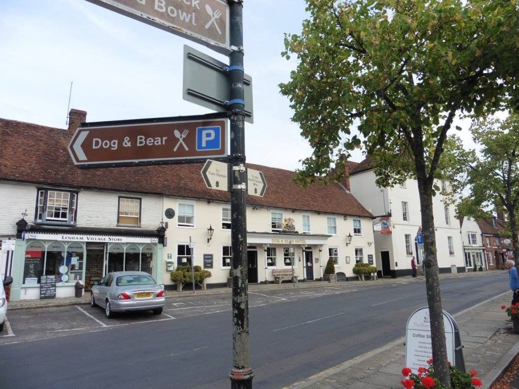
Having packed my rucksack, boots and poles in my car I drove to
Lenham and found a parking spot just down the road from St Mary’s
Church. The weather was warm and sunny and it looked like it might be a
hot day ahead.
Day One – Lenham to Ashford (15 Miles)
The Stour Valley Walk is a long distance path along the valley of the
River Stour from the source, through the Low Weald and North Downs and
passing by the great Roman ruins of Richborough Castle, to the historic
town of Sandwich.
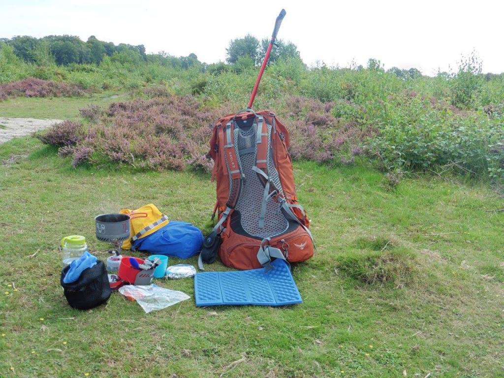
I went to the rear of my car to don my boots and heave my rucksack on
to my back but when I came to adjust my trekking poles one of them was
stuck fast. I tried everything I could to free it but it would not
budge. Sadly I had no tools in the car and so after wasting 10 minutes
trying to free it, I had to face the fact that I would be walking with
only one trekking pole.
Normally this would not be a problem as I often do not use them on
low-level walks but I had deliberately overloaded my new rucksack a
little to see how it would feel after adjustments made form the previous
trip where it was more than a little uncomfortable, to say the
least.
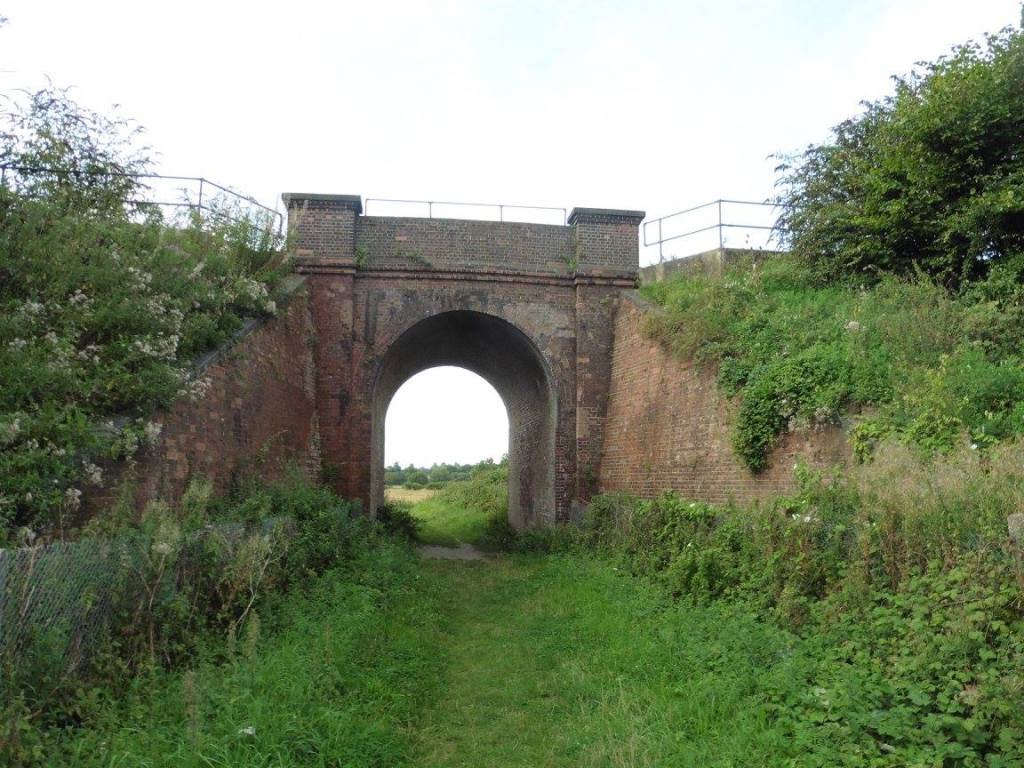
I took a few photos and then headed back to the church and through
the churchyard to a gate at the rear which opened into a large field.
There were three or four options from here I headed for the tunnel that
when under the railway line and through into the next field.
There was a waymarker on a post on the other side of the tunnel but
the arrow had disappeared so I followed the obvious path through the
field in a diagonal direction and through the tree line next to a water
treatment works.
This came out on to a track which went all the way to the next
railway line then over the M20 motorway. Once on the other side, you
turn right down the side of Hubbard’s Farm.
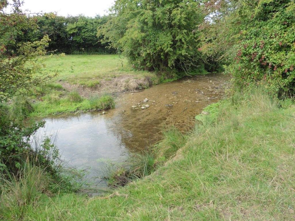
Following the path to Burnt Mill, you get a better glimpse of the
Great Stour River and are able to follow it for a short distance before
having to return to the road which continues to Stonebridge Green.
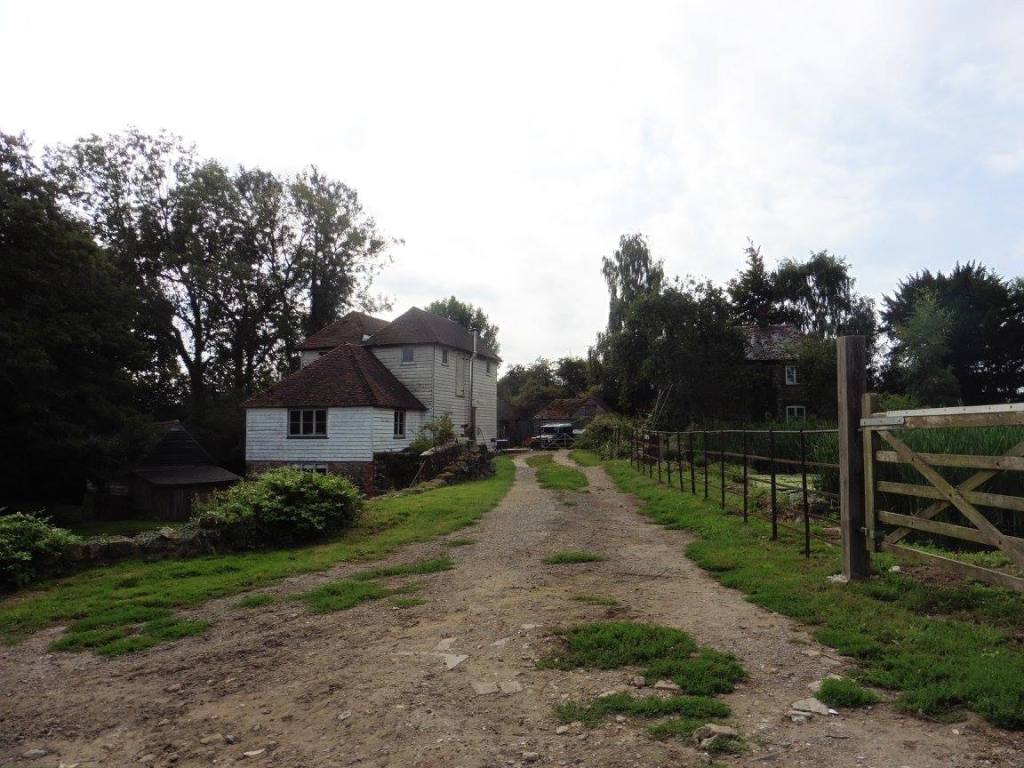
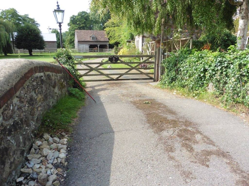
At Barnfield, I had a slight moment. As you exit a leafy path you
reach a driveway with arrows directing you to the left. On the right is
a large gate to a private property. I started down this driveway but had
a slight nagging feeling in my head so returned to the gate. Next to the
get is a waymarker for the path pointing back along the leafy path I had
come from and the only other navigational marker was the arrow pointing
down the driveway.
I referred to my OS map could see that the Stour Valley Walk
continued behind the property with the large gate and that there was a
route with green dots meaning ‘other route with public access’ route
around the big house and between some outbuildings to the rear of the
property. It seemed to me as though ‘interested parties’ were trying to
divert the unwitting walker on an alternative route which takes you in
completely the wrong direction!
A little bit naughty here! All the signs point in the direction
behind me but the actual path is through that gate!
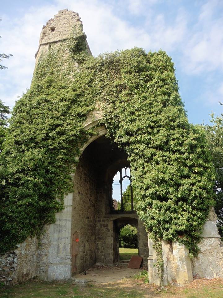
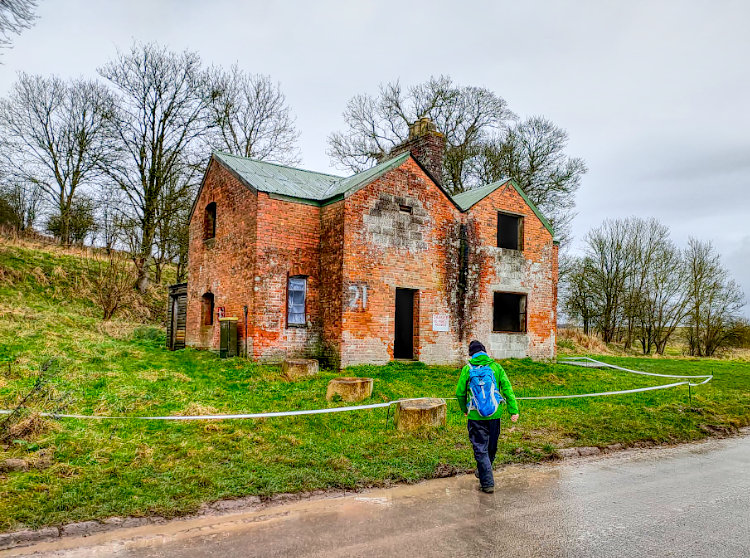
Navigational disaster averted I continued on to Chart Court Farm and
the remains of St Mary’s Church. This was a charming little spot to stop
for a short while and rest before continuing through the woods behind it
and on to Little Chart.
At Little Chart you emerge from the woods by the Mill Ponds and then
on to a road just above the Swan Inn. I resisted temptation here and
continued down Swan Lane and passed the church until I saw the
waymarkers alongside those of the Greensand Way. From here the two paths
run together until the other side of Hothfield Common.
It was on Hothfield Common that I stopped for lunch and boiled some
water for a coffee and rested for a short while. After lunch, I made my
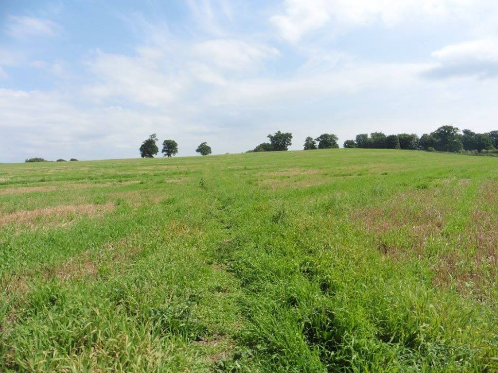
way to Worten Wood via Rippers Cross and then crossed the road at Worten
Home Farm before making my way across the fields.
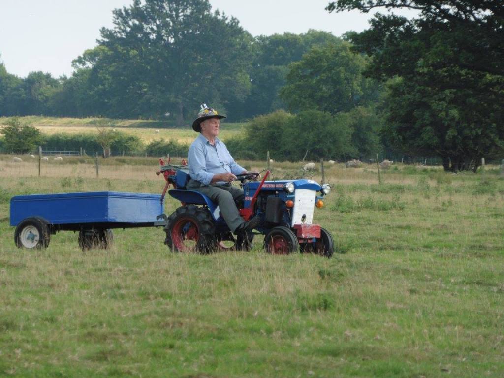
From here the Stour Valley Walk is an urban river walk hugging the
river and the main road as it passes through Victoria Park and
underneath the A2042 road and the rail bridges. It was here that I saw
something slightly unusual. It was a parade of old and mini tractors
crossing the field in front of me. Eight of them in total and ranging in
size some pulling trailers.
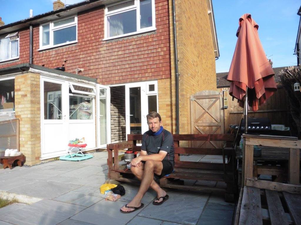
I left the path from here to make my way to my accommodation for the
evening which was in South Ashford. Some relatives were away for the
weekend and were allowing me to stay in their house for the night.
I didn’t want them to go to any trouble so I had packed my
Therm-a-rest and sleeping bag and slept on the living room floor while
cooking my meals on the patio with my stove and keeping to the food that
I had purchased beforehand other than a pack of 4 snickers bars that I
picked up along the way for a £1.
The Route
Distance : 15 Miles
I started day one from Lenham and ended at Ashford. Below you will
find the GPX and map for the entire route which is 52 miles.
Click HERE for
a GPX file of the route.

Are you tired of being stuck in the office? Bored of being chained to a desk? Counting down the days until retirement?
Me too!!
CATEGORIES
FOLLOW US


RECENT POSTS
-
 Tuesday 01 February 2022
 -
 Monday 31 January 2022
 -
 Sunday 30 January 2022
 -
 Saturday 29 January 2022
 -
 Friday 28 January 2022
 -
 Thursday 27 January 2022
 -
 Wednesday 26 January 2022
 -
 Tuesday 25 January 2022
 -
 Monday 24 January 2022
 -
 Sunday 23 January 2022
 -
 Saturday 22 January 2022
 -
 Friday 21 January 2022
 -
 Thursday 20 January 2022
 -
 Sunday 02 January 2022
 -
 Saturday 01 January 2022
 -
 Wednesday 27 October 2021
 -
 Tuesday 26 October 2021
 -
 Sunday 02 May 2021
 -
 Sunday 04 October 2020
 -
 Saturday 03 October 2020