Walk • Trek • Travel
A photographic record and journal of our walking, trekking and travelling adventures.
Stour Valley Walk – Canterbury to Sandwich
Monday 28 August 2017
I left the Kipps hostel at around 8:00 am. The sun was already
shining and it looked like it was going to be another very hot day. With
another 20 miles to go to get to Sandwich, I had made sure my water
bottle was full but in my rush to leave early I forgot to take my malt
loaf from the fridge in the kitchen.
Day Three – Canterbury to Sandwich (20 Miles)
The Stour Valley Walk is a long distance path along the valley of the
River Stour from the source, through the Low Weald and North Downs and
passing by the great Roman ruins of Richborough Castle, to the historic
town of Sandwich.
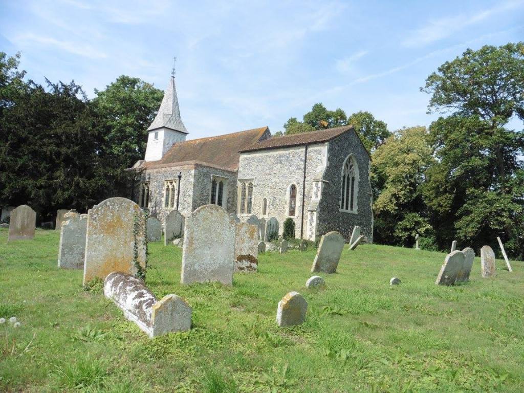
I picked up the Stour Valley Walk path again in the Longport area of
Canterbury and followed it into Timpson Wood stopping briefly to look at
the remains of a 12th-century Conduit House that supplied water to the
nearby St Augustine’s Abbey.
As I walked through the woods I looked at my map and could see that I
was almost 800 metres from the Great Stour and that there was a lower
path that was closer to the river so I opted to walk on the lower path
as it entered Fordwich.
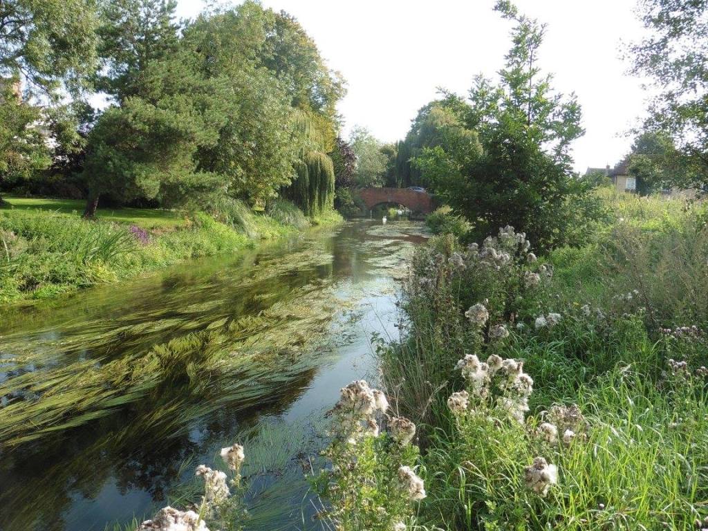
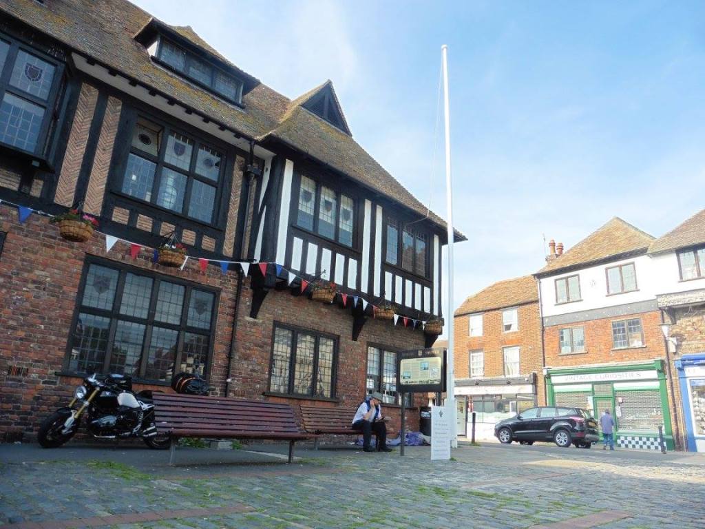
Fordwich looks like a lovely, picturesque village resting on the
banks of a river but it is, in fact, a town even though its population
is less than 200.
Stone, from Caen, used to build Canterbury Cathedral was landed at
Fordwich by the Normans and the ancient Church of St Mary the Virgin
contains part of a sarcophagus thought to have contained the remains of
St Augustine of Canterbury.
Just after I had passed the church I found my self-battling with
knee-high nettles again. I was wearing shorts because of the heat and so
my legs were taking a real battering as I found it almost impossible to
step anywhere without being stung. This lasted for almost 500-metres but
there were so many nettles and the path so overgrown that I couldn’t
stop and put on my waterproof trousers for protection.
Eventually, I exited the wood near a place called Higham Farm and
enjoyed the luxury of walking in open fields and lanes until reaching
Stodmarsh.
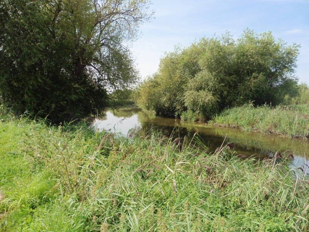
Stodmarsh is about 1.5Km from the Great Stour but it is right next to
a National Nature Reserve and you walk through this pleasant wetland
area and over the Lampden Wall flood defence to get back to the
river.
You exit the Nature Reserve at Grove Ferry where there is a nice
looking pub called the Grove Ferry Inn behind which is a picnic
area.
The name ‘Stourmouth’ suggests that this was once the location of the
mouth of the Great Stour as it flowed into the sea and having done some
research after the walk it turns out that this is true, well. Almost!
This is another point on the walk where you don’t follow the obvious
path that follows the Great Stour and instead, you deviate from the
river altogether at Red Bridge and walk through fields until you reach
West Stourmouth.
The Great Stour and Little Stour converge at Plucks Gutter to form
the River Stour. The River Stour and the Wantsume channel then joined to
form the Isle of Thanet. At Stourmouth this channel was 4-miles
wide.
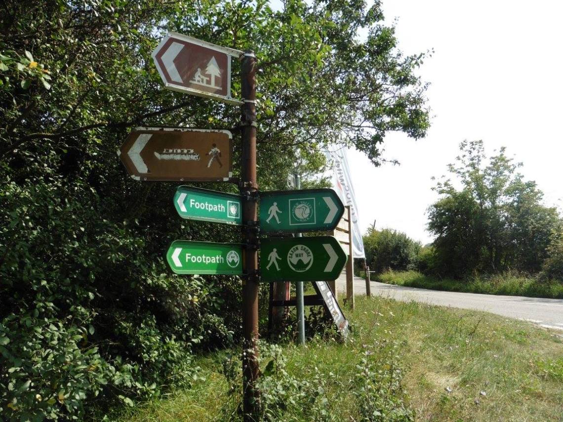
Once again, looking at my map, I could see that the nearby Saxon
Shore Way was following the River Stour 1.5km to the north of my
position whereas the Stour Valley Walk was leading me across several
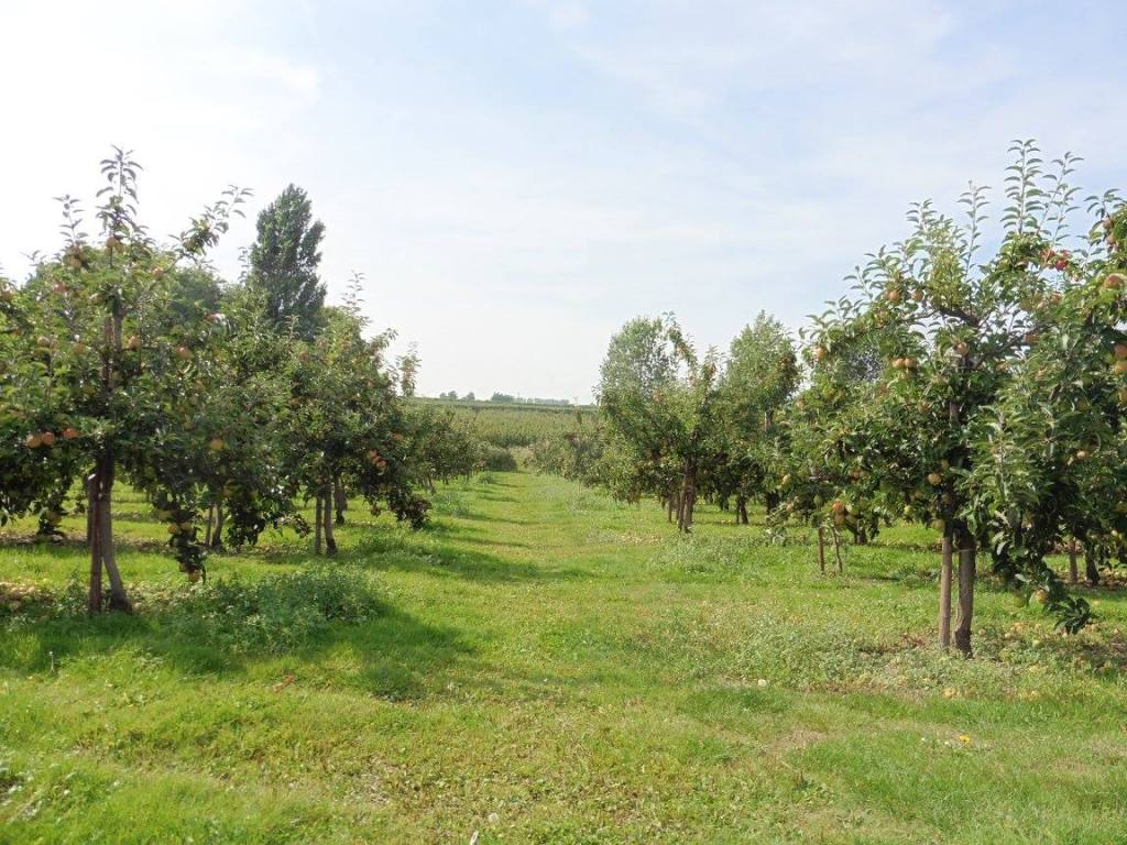
miles of fields and fruit farms. This was very flat country and by now
the temperature had reached 28 Degrees Celsius.
I didn’t meet the River Stour until Richborough where the Stour
Valley Walk connects with the Saxon Shore Way again and follows the
river briefly before being routed on to the tarmac road.
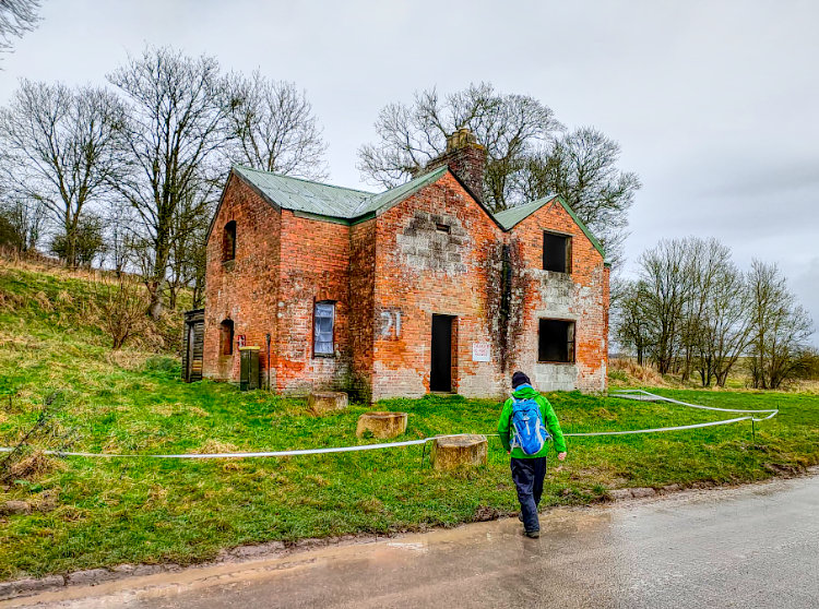
There is a Roman Fort at Richborough and a Roman Amphitheatre. As I
passed the amphitheatre I climbed the steep grassy slopes hoping to take
a look but I ran into barbed wire fences just below the summit that not
only prevented access but prevented any kind of view.
Having expended the additional energy on such a hot day with no
reward I returned to the path dejected.
For those of you that are inclined the Stour Valley Walk continues to
Pegwell Bay. Once there you have to return along the same path and for
me, it would have meant returning all the way back to Sandwich to catch
my train back to Lenham and collect my car.
Having walked this extra section once before while following the
nearby coastal route I had already planned to end my journey in
Sandwich.
The Route
Distance : 20 Miles
I started day three from Kipps Hostel in Canterbury and stopped in
Sandwich. Below you will find the GPX and map for the entire route which
is 52 miles.
Click HERE for
a GPX file of the route.
Are you tired of being stuck in the office? Bored of being chained to a desk? Counting down the days until retirement?
Me too!!
CATEGORIES
FOLLOW US


RECENT POSTS
-
 Tuesday 01 February 2022
 -
 Monday 31 January 2022
 -
 Sunday 30 January 2022
 -
 Saturday 29 January 2022
 -
 Friday 28 January 2022
 -
 Thursday 27 January 2022
 -
 Wednesday 26 January 2022
 -
 Tuesday 25 January 2022
 -
 Monday 24 January 2022
 -
 Sunday 23 January 2022
 -
 Saturday 22 January 2022
 -
 Friday 21 January 2022
 -
 Thursday 20 January 2022
 -
 Sunday 02 January 2022
 -
 Saturday 01 January 2022
 -
 Wednesday 27 October 2021
 -
 Tuesday 26 October 2021
 -
 Sunday 02 May 2021
 -
 Sunday 04 October 2020
 -
 Saturday 03 October 2020