Walk • Trek • Travel
A photographic record and journal of our walking, trekking and travelling adventures.
Stour Valley Walk – Ashford to Canterbury
Sunday 27 August 2017
I knew this would be a big day and so I made an early start and
headed back to Ashford International Station and back on the Stour
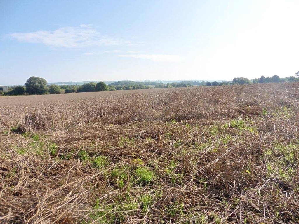
Valley Walk path. It followed the river briefly before having to walk
along the A292 before taking an alley up and over the M20 but you
eventually leave the urban area behind and hit the country lanes and
fields.
Day Two – Ashford to Canterbury (21 Miles)
The Stour Valley Walk is a long distance path along the valley of the
River Stour from the source, through the Low Weald and North Downs and
passing by the great Roman ruins of Richborough Castle, to the historic
town of Sandwich
At Blackwall Farm, you turn left and head down to the railway line. I
made my first error of the day here. I allowed myself to follow the
track on the ground rather than look at the map and ended up in a field
with no exit. I had to retrace my steps through two fields and follow
the correct path.
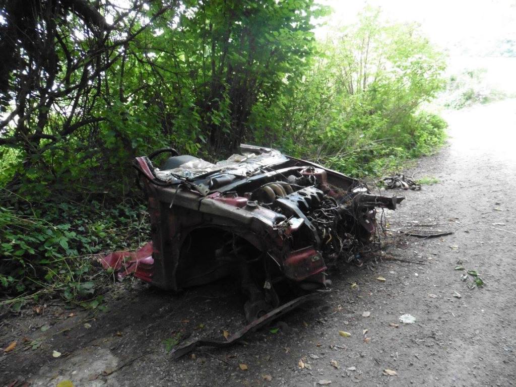
Down by the railway line, it was so overgrown that I had to put my
waterproof trousers on and push my way through the waist high stinging
nettles. I had been stung a few times the day before but I wasn’t taking
any chances here!
As I moved away from the railway line I came across a small
footbridge and this is where I made my second error of the day. To avoid
some more nettles I tried to walk through a gap on the left of the
footbridge. I did not see that there was a fence wire that had been
pushed down and was sitting about six inches off the ground in equally
long grass and before I knew what hit me I was lying flat on my face
being squashed by my heavy rucksack. I was grateful that I didn’t fall a
bit further forward and fall into the Great Stour!
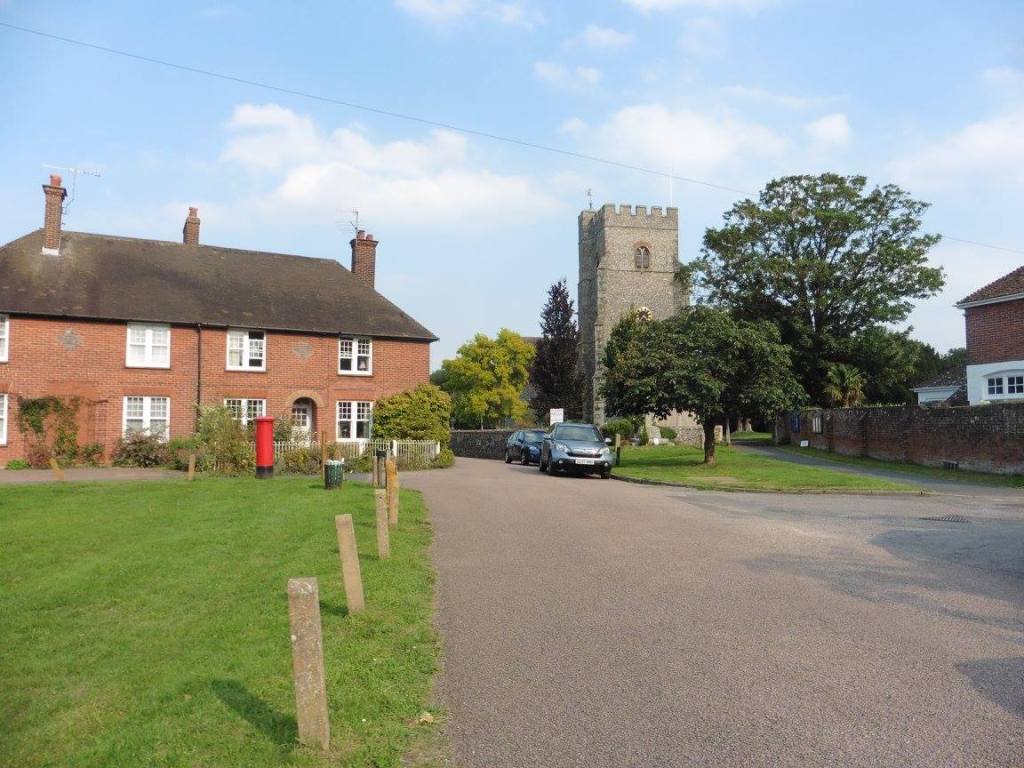
I dusted myself off and continued on my way following the path to the
pretty village of Wye. I spent much of the time trying to figure out
what the chalk carving was that I could see up in the hill above the
village. I eventually saw that it was a crown and later discovered that
it was carved in the chalk by students in 1902 to commemorate the
coronation of Edward VII.
I exited the plantation and into a large ploughed field and struggled
to see a waymarker on the other side. I started across on what I thought
was the right path but didn’t see the waymarked post until I was almost
on the other side but managed to find my way into Beech Wood through a
gap in the otherwise fenced off wood.I found a convenience shop in Wye
and purchased a bottle of coke for a £1 and sat at the bus stop to drink
it. There is also some toilets here that I made use of before heading
behind the church and up a wide, track passed some nurseries and then
diagonally across a field and into some trees.
This was followed by another field and another wood, Warren Wood,
whereby I exited at the top of a steeply sloping field and almost missed
the path on my left.
By now I was getting tired and hungry and so by the time I had passed
Eaggarton Manor and climbed the hill to Blue Downs I was ready for a
rest, a bite to eat and some coffee.
After lunch, I made my way to Chilmans Down through Down Wood. It was
a little bit too hot now and the track was a little too boring and I was
probably getting a little bit tired.
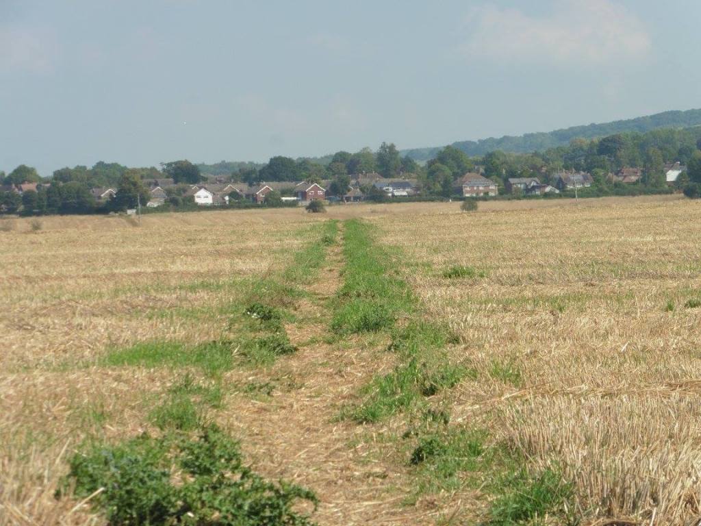
By the time I reached Chartham, I was pleased to be walking through
something more interesting.
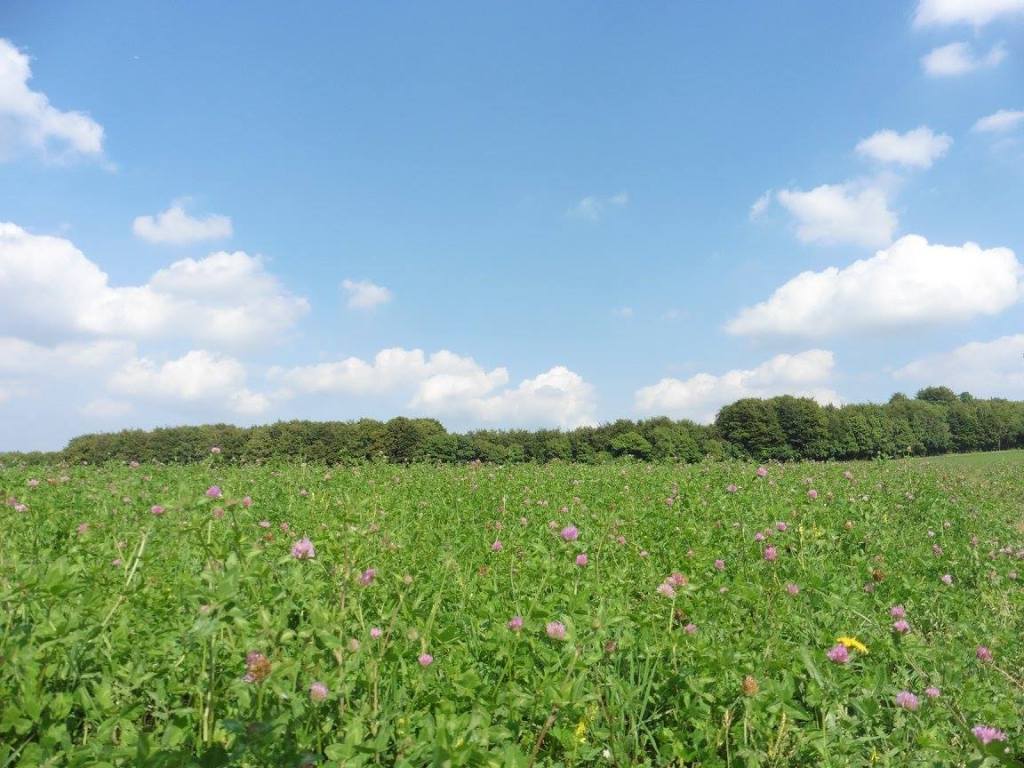
From Chartham onward, the route is a flat stroll along the riverside.
There were plenty of people about. Children playing and families having
picnics etc. The path takes you through a popular nature reserve so as
you get closer to Canterbury the number of pedestrians, joggers, dog
walkers and cyclists increases.
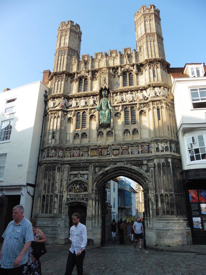
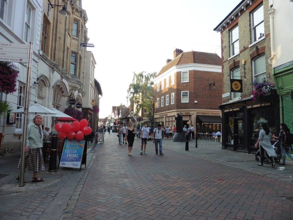
I was very tired by this time and just wanted to find my hostel,
Kipps, which was a further mile or so away and uphill! The best bit
about this section of the route is that you don’t actually feel like you
are approaching a major urban area and it is not until the path takes
you away from the river do you find yourself right in the centre of
Canterbury and on the High Street.
I got there just as the day was beginning to end and checked in and
was pleasantly surprised to be treated to a complimentary bottle of
beer. I must have looked as though I needed it!
The hostel was great. Well equipped and the staff were really
welcoming. The dormitory I was in was good enough for my needs.
I ended my day with a shower, some dinner and a pint at the Two Doves
public house just down the road from the hostel.
The Route
Distance : 21 Miles
I started day two from Ashford and ended at the Kipps Hostel in
Canterbury. Below you will find the GPX and map for the entire route
which is 52 miles.
Click HERE for
a GPX file of the route.
Are you tired of being stuck in the office? Bored of being chained to a desk? Counting down the days until retirement?
Me too!!
CATEGORIES
FOLLOW US


RECENT POSTS
-
 Tuesday 01 February 2022
 -
 Monday 31 January 2022
 -
 Sunday 30 January 2022
 -
 Saturday 29 January 2022
 -
 Friday 28 January 2022
 -
 Thursday 27 January 2022
 -
 Wednesday 26 January 2022
 -
 Tuesday 25 January 2022
 -
 Monday 24 January 2022
 -
 Sunday 23 January 2022
 -
 Saturday 22 January 2022
 -
 Friday 21 January 2022
 -
 Thursday 20 January 2022
 -
 Sunday 02 January 2022
 -
 Saturday 01 January 2022
 -
 Wednesday 27 October 2021
 -
 Tuesday 26 October 2021
 -
 Sunday 02 May 2021
 -
 Sunday 04 October 2020
 -
 Saturday 03 October 2020