Walk • Trek • Travel
A photographic record and journal of our walking, trekking and travelling adventures.

North Downs Way – Cuxton to Wrotham
Sunday 31 March 2019
Not long after my previous adventure on the North Downs Way, I had
the opportunity to do another section while everyone else was out for
the day.
Better still, they were heading in the direction of my intended
starting point, Cuxton so could drop me off on their way and they would
be heading back along the M20 later in the day so could pick me up at
the finishing point of Wrotham. No bribes, black magic or voodoo. Just
luck!
Cuxton is the closest part of the North Downs Way to where we live
and I have walked part of this path before on another local walk and I
could see from the map that it would meet the Weald Way in Trosley
Country Park which is where Susan and I ended the first section of the
Weald Way in 2014.
I was dropped off just passed the round-a-bout on the A228 which
meant that I didn’t have to walk from the centre of Cuxton, a section I
have walked before, and which saved me a mile.
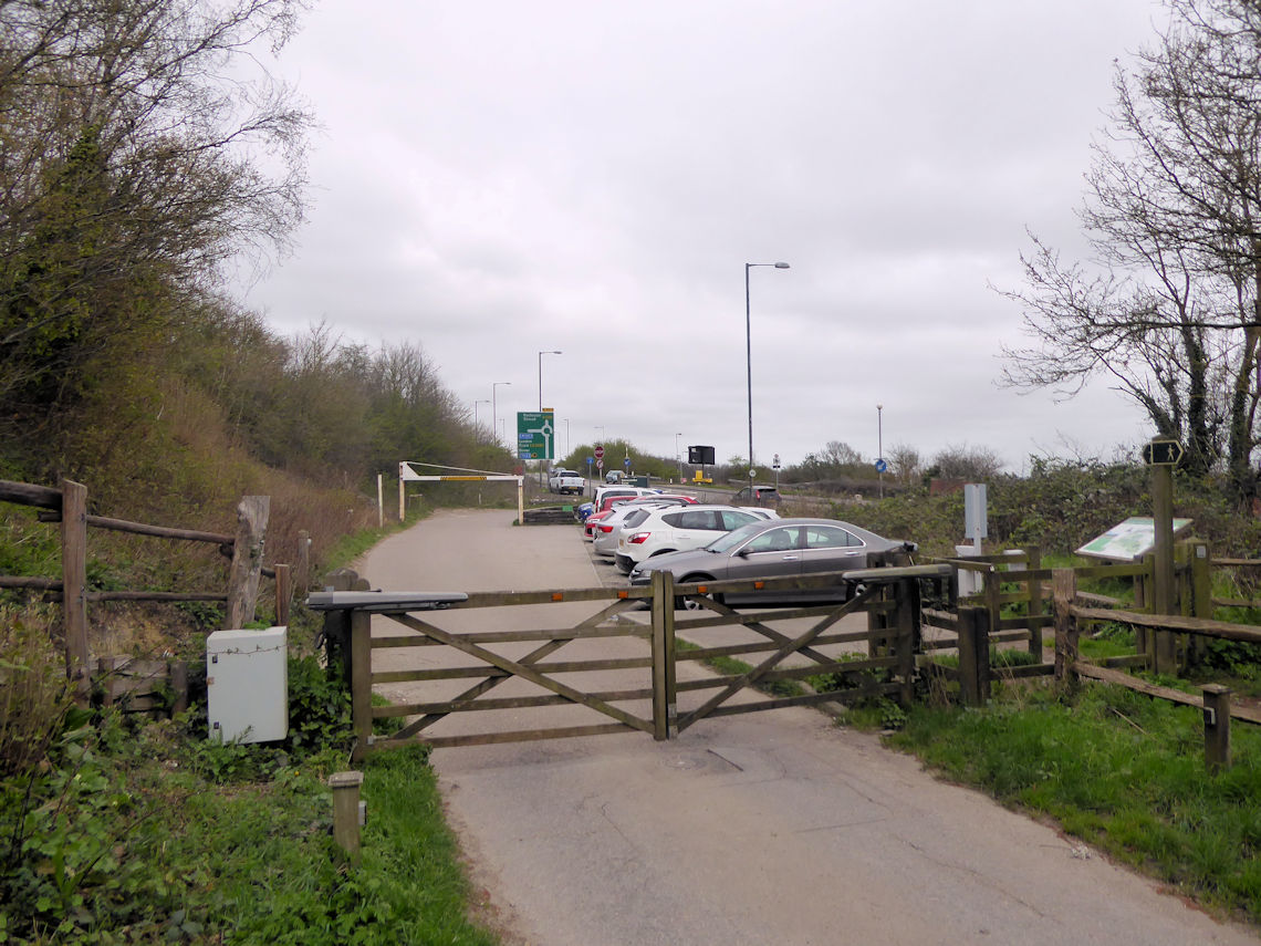
I crossed the busy A road and into a small car park before heading
through a gate to Ranscombe Farm Nature Reserve and before long I was in
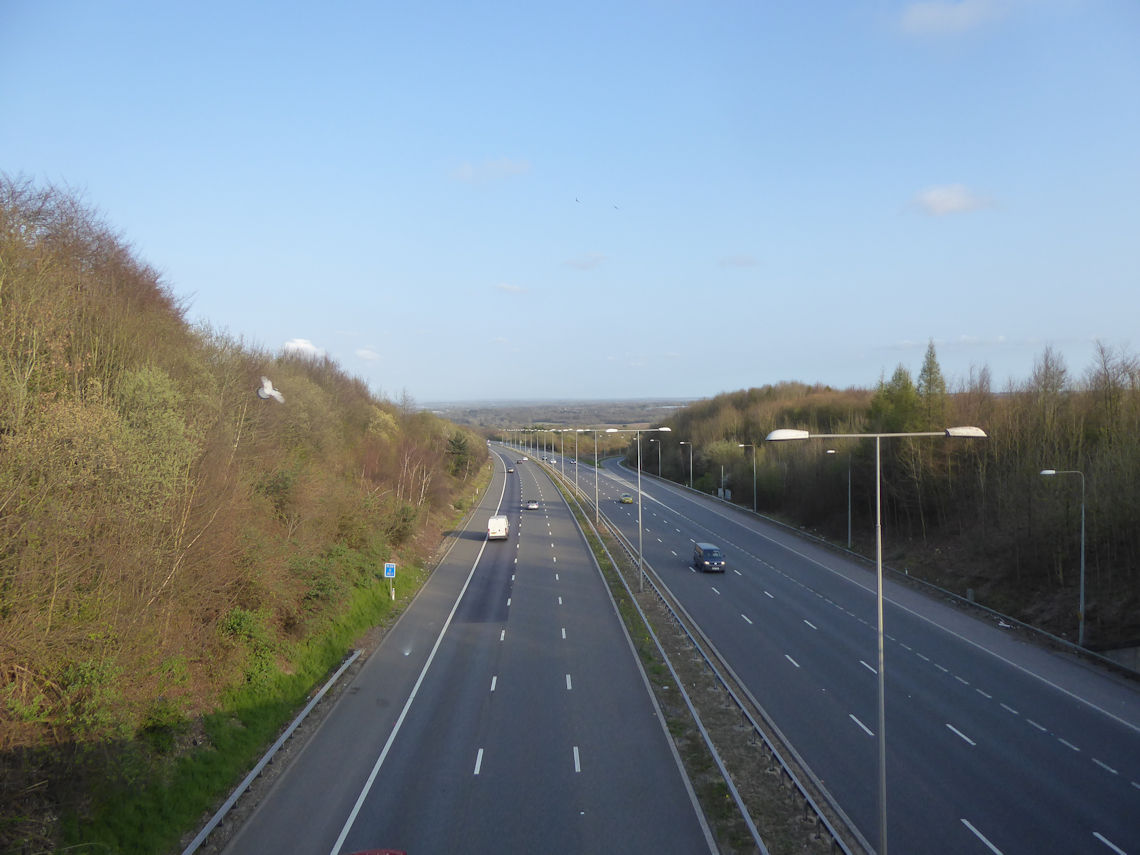
the countryside. I could still hear the traffic on the busy M20 motorway
but it seemed distant and much further away than the 500 metres that it
actually was.
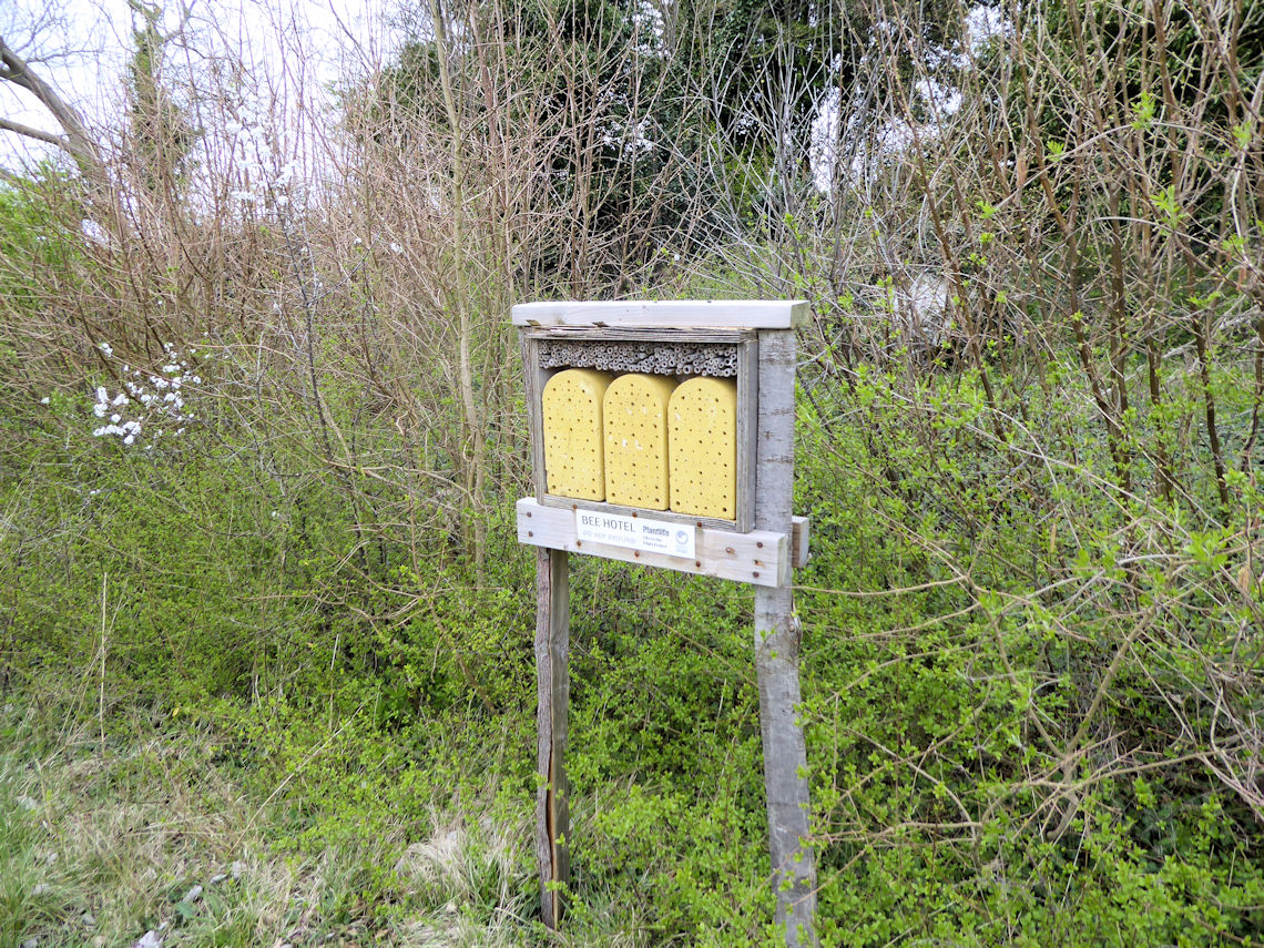
I passed a Bee Hotel, which I think is the first one I have ever
seen, but it was not very ‘buzzy’ (sorry!) so I continued on the path,
leaving Cuxton, and on to Upper Bush. Apart from a few dog walkers just
outside of Cuxton I had not seen another soul.
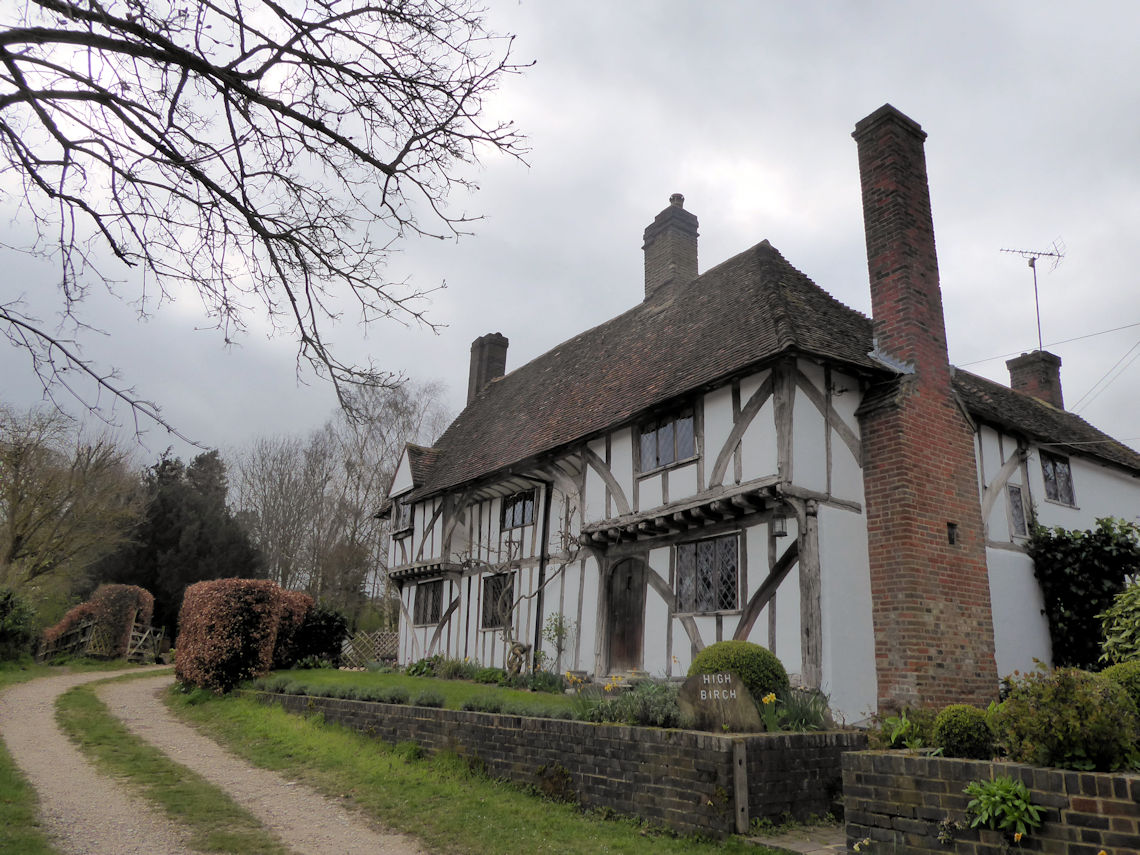
Upper Bush is a tiny hamlet of just eight houses or so of which two
are Grade II listed timber framed hall houses from the fifteenth
century. The settlement is not mentioned in the Domesday book but sits
right on the North Downs Way which, at the time, was an established
trade route.
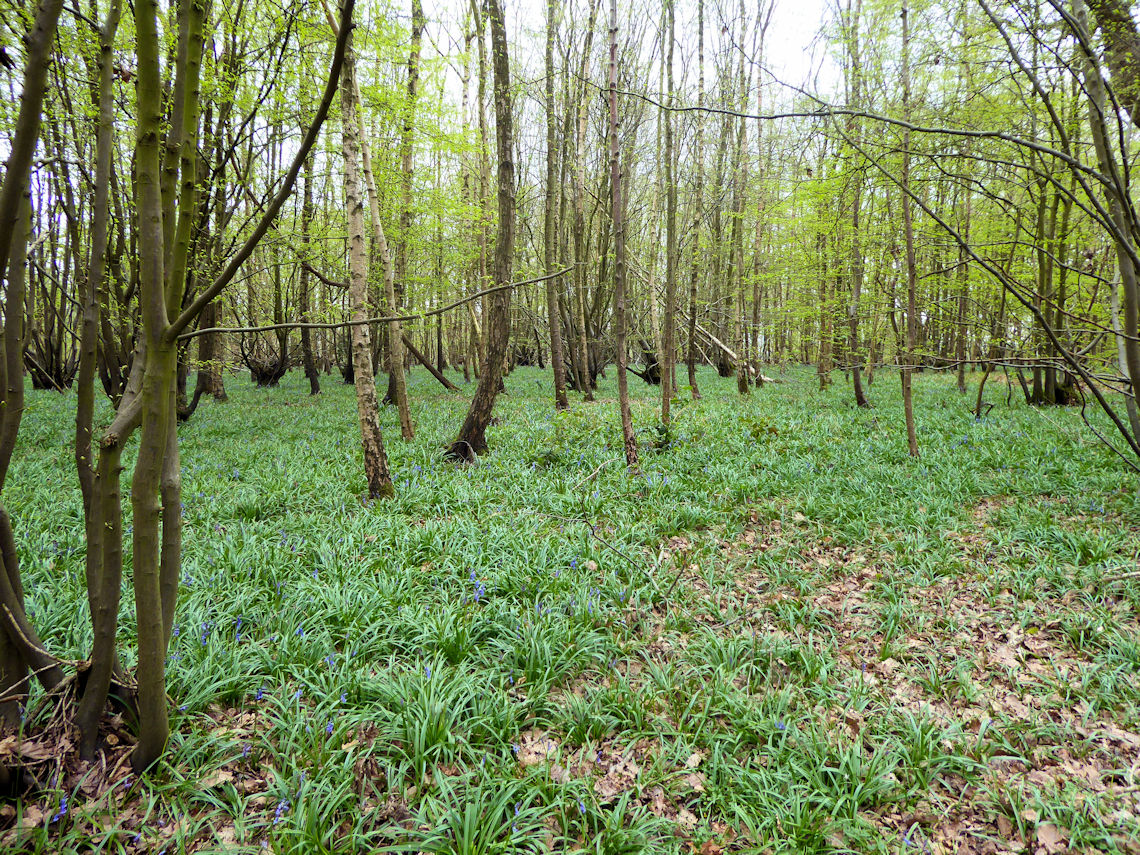
From Upper Bush, I proceeded on to Wingate Wood. The last time I had
walked here the wood was carpeted with Bluebells. They were everywhere
and looked fantastic. This time I was a little early and they had not
yet started to flower.
I don’t know much about flowers but I do know that you should not
step on them because, unlike many other plants in the woods, bluebells
can take years to recover if you crush them because their leaves cannot
photosynthesise.
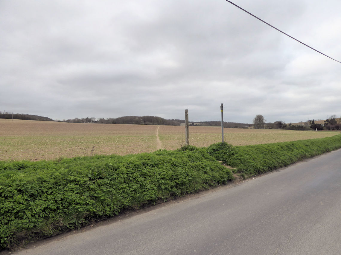
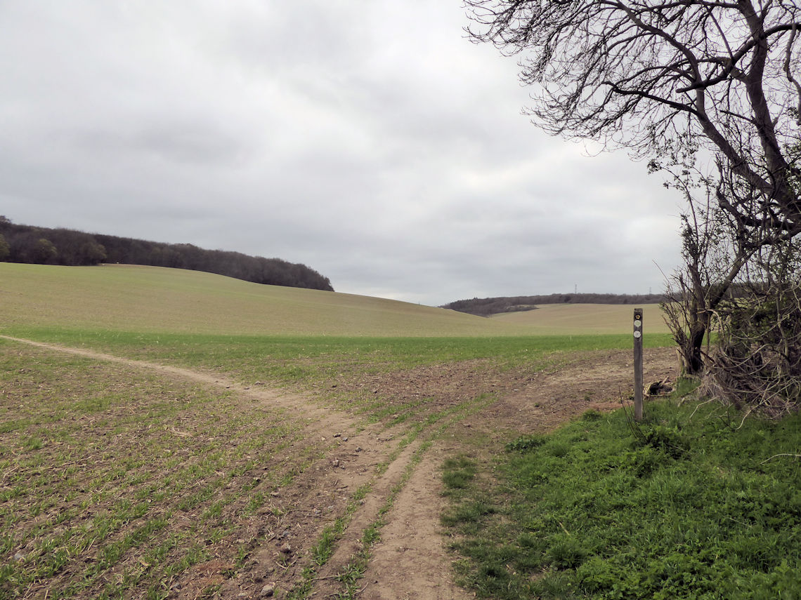
As I walked through the woods it suddenly dawned on me that I was yet
to encounter any mud. To date, I have never been on a walk in Kent that
did not involve ridiculous amounts of sticky, clumpy mud. The kind that
transforms your walking boots into bumper cars and yet, so far today, I
had walked through several miles of ploughed fields and woodland and my
boots were still clean. All-in-all I was having a very lucky day.
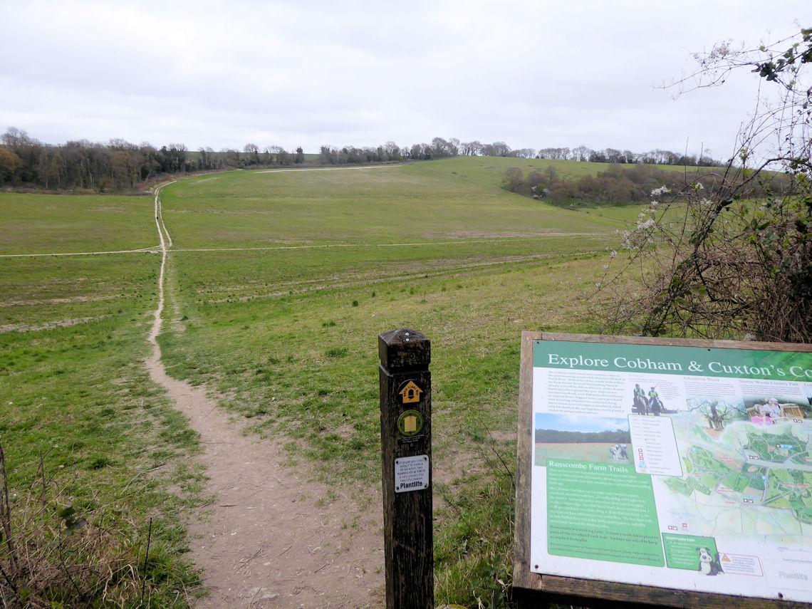
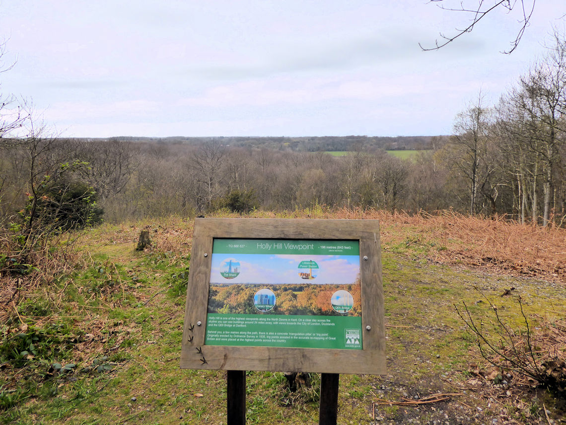
I walked through Pastead Wood, Ten Acre Wood and Greatpark Wood and
started to head towards Holly Hill-Wood when I decided it was time for
lunch and coffee. A quick look at View Ranger showed a trig point at
Holly Hill which was just off the North Downs Way and not far from my
position so I headed towards it hoping that it would be a good place for
lunch and high enough for a view.
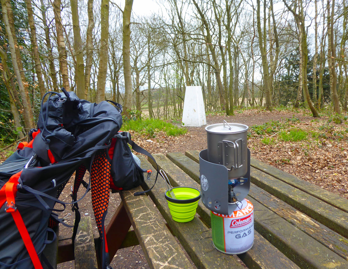
As luck would have it, there was an ‘official’ viewpoint at Holly
Hill but the hazy cloud covered sky made it impossible to see much and I
had a feeling that maybe I had been here before. I wondered if my lucky
streak had just run out but as I turned to walk away from the viewpoint
I noticed a solitary picnic table next to the trig point. The perfect
place to sit and have lunch and make a cup of coffee.
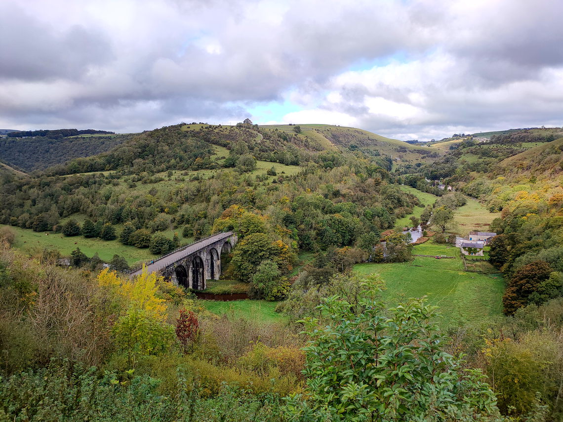
After lunch, the path rejoined the Pilgrims Way trackway below the
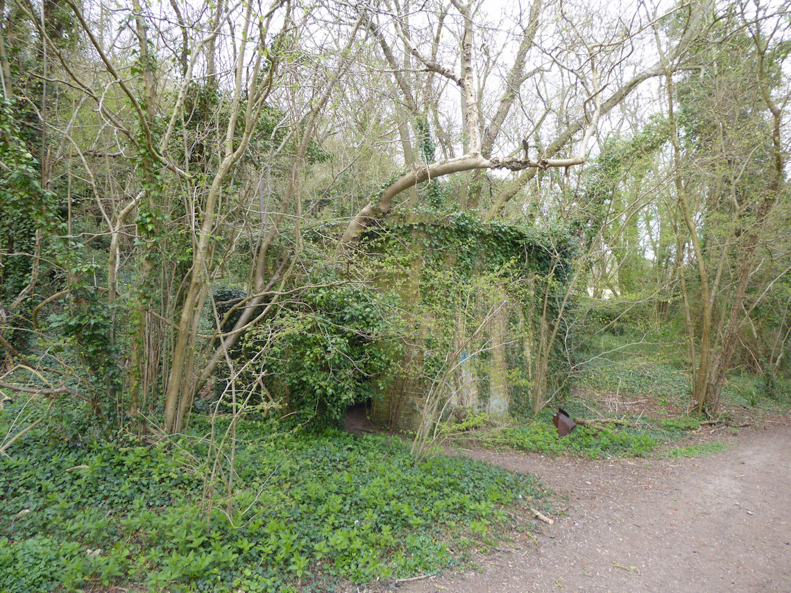
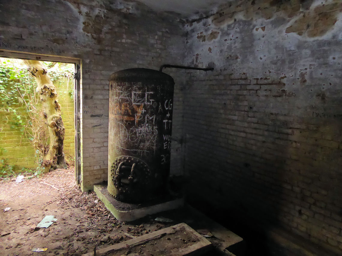
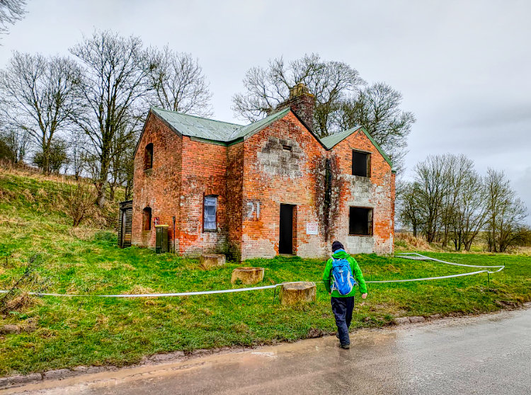
North Downs Ridge and above Birling. Just before the track crossed the
Weald Way I came across what I thought was Pill Box. I have seen dozens
in the South East and simply assumed that this was just another one. I
took a look inside and was surprised to see what looked like a giant
boiler. Having never seen a pillbox with a boiler before I made a mental
note to research this on the internet and continue on my way. I had
already decided to make a little detour to Coldrum Long Barrow and was
keen not to be late for my lift.
Having now had the chance to do some research I have discovered that
the small village of Vigo, which lay just north of the track with the
pillbox, was once the purpose-built Pre-Officer Cadet Training Unit at
Wrotham Camp and before that was simply woodland. The OCTU operated from
1942 to 1946 and at one point had ten thousand cadets stationed there
for the eight-week training programme.
The pillbox was, in fact, a water pumping station and one of several
remains of the camp that can be found in the wood.
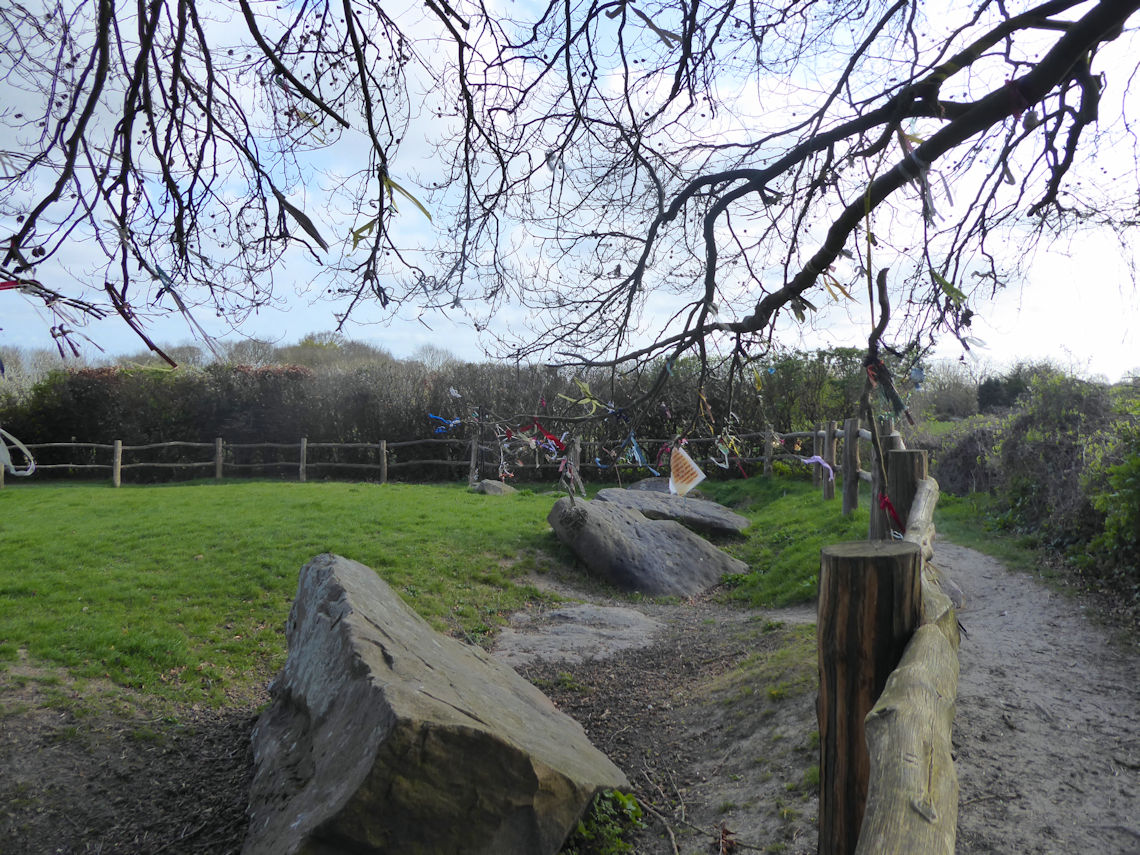
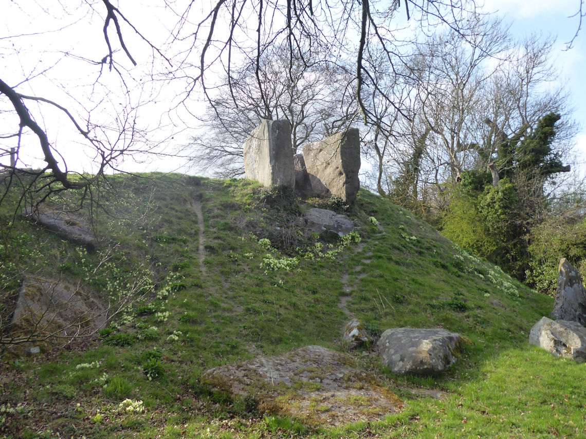
Shortly after the pumping station I took a detour to Coldrum Long
Barrow. I had wanted to visit this site for a while having stopped, just
short of it, back in 2014.
Coldrum is an instresting place. It is now described as a Long Barrow
and is considered one of the medway megaliths but it was not so long
ago, in relative terms, that it had been suggested that it was a henge
or stone circle or that it marked a processional route to nearby Kits
Coty. Even its present-day name is shrouded in mystery with some
suggesting that ‘Coldrum’ is a corruption of ‘Galdrum’ which is the
Cornish word for ‘place of enchantment’.
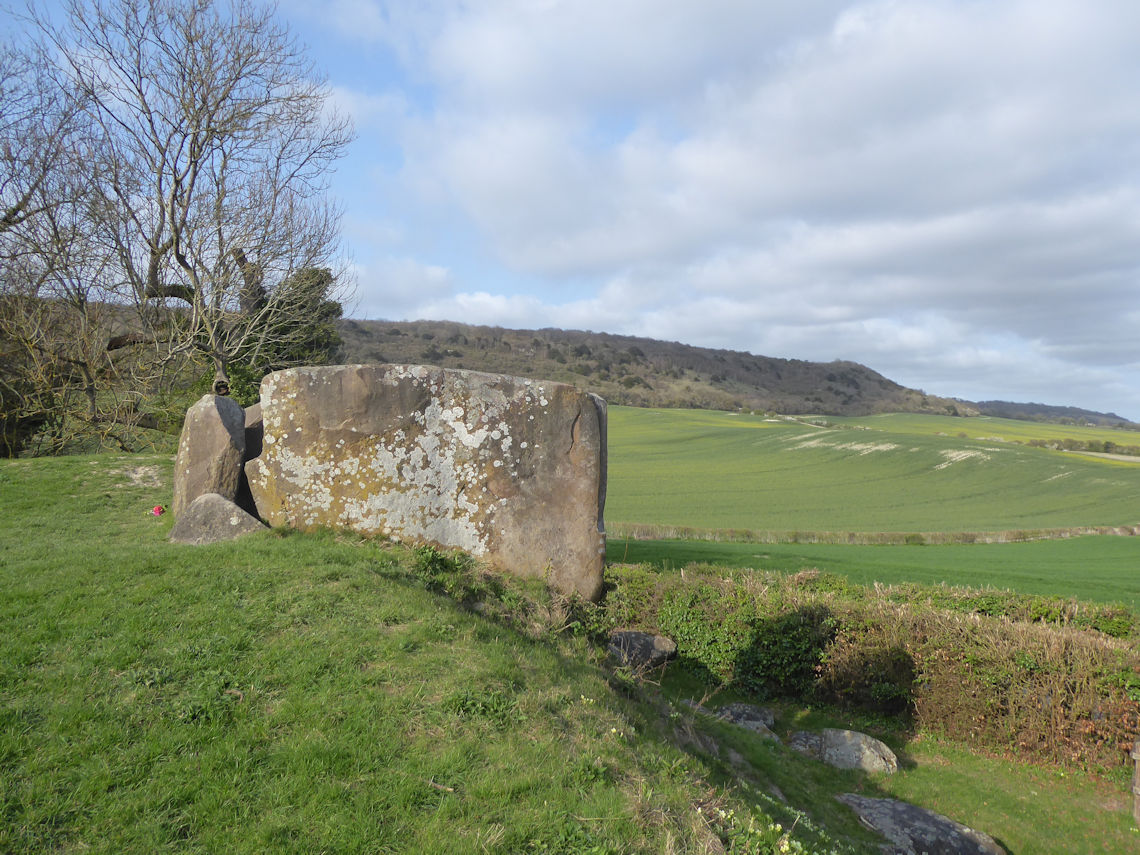
When I arrived at Coldrum from the north end the first thing I
noticed were ribbons and such hanging from the trees. Known as
‘clooties’ such ribbons are usually associated with wells or springs and
are places of pilgrimage. Pilgrims would tie strips of cloth or rag to a
nearby tree as part of a healing ritual. Such practices existed in
pre-Christian times so I would assume that this has nothing to do with
the Pilgrims making their way to Canterbury or further into Europe by
way of Dover.
In fact Coldrum Long Barrow is dated to 3985 – 3855 BC making it one
of the earliest prehistoric monuments in Britain, pre-dating Stonehenge
by more than 1000 years.
I returned to the Pilgrim’s Way and back on to the North Downs Way
through Trosley Country Park. For the first time since I had started the
walk, I began to pass a few people out walking their dogs.
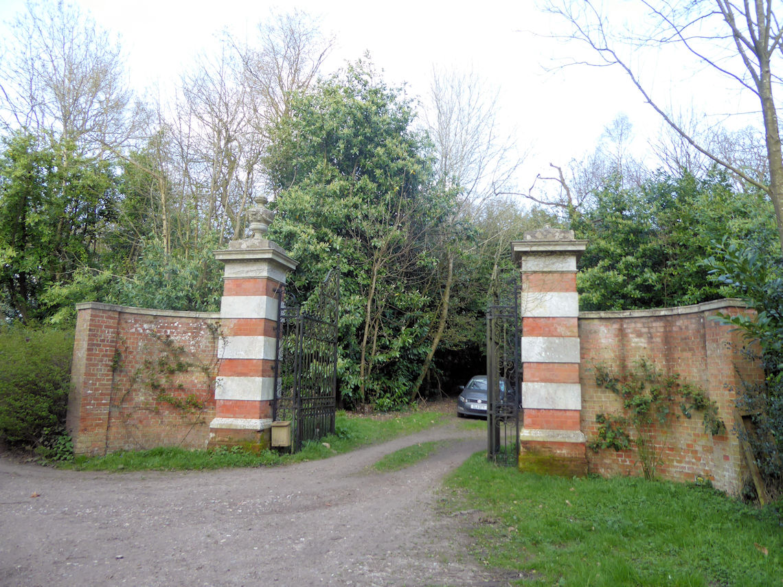
As I made my way towards Wrotham I passed some large gates in Hognore
Wood that did not seem to belong to anything that I could see on the
map. Having done some research since I suspect that this may have been
linked to Trosley Towers which, as far as I can tell, was a mansion
built by the Waterlow family in1887 and demolished in 1936.
I emerged from the wood on to a tarmac lane and back on to the
Pilgrim’s Way and followed this until I eventually reach and then
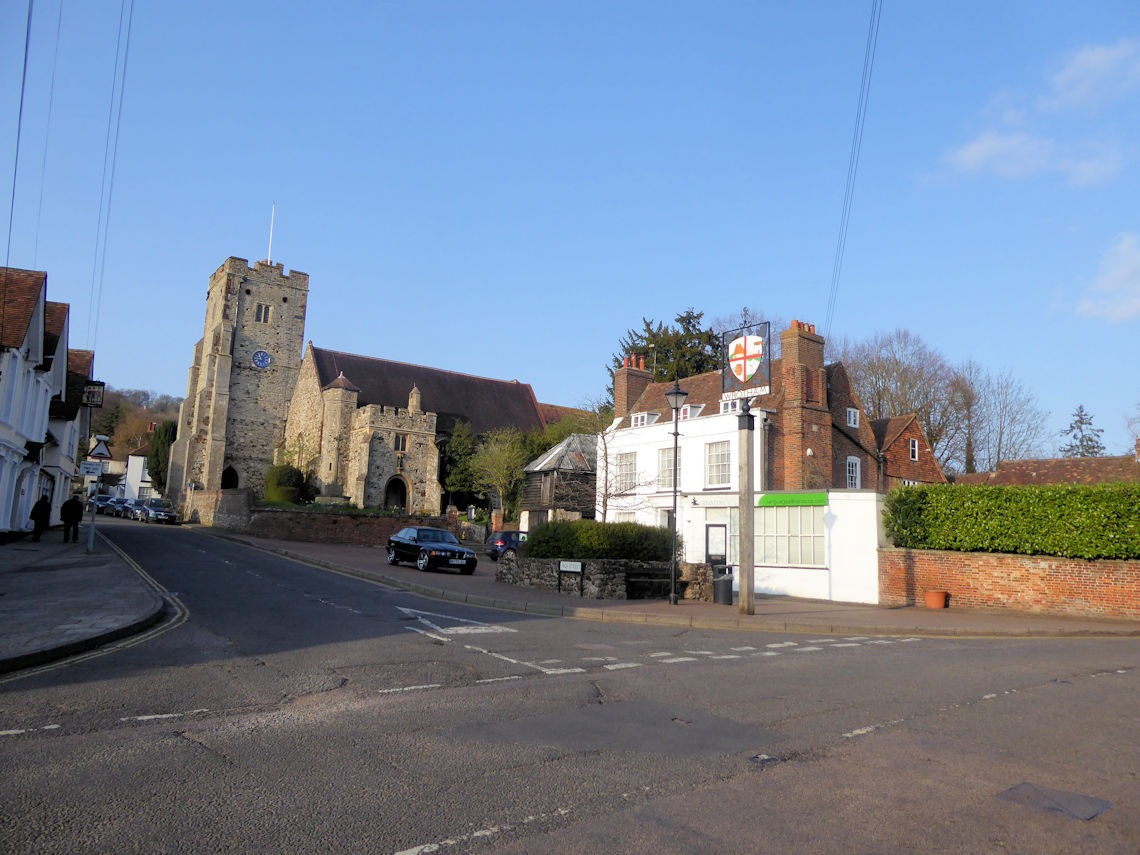
crossed the busy M20 motorway before crossing the A20 and dropping into
the village of Wrotham.
I barely had time to take a few photos before my lift arrived.
I went to remove my walking boots before climbing into the back of
the car but they were still clean.
-.jpg)
###The Route
Distance : 12 Miles
On the day, I was lucky enough to get a lift to Cuxton and then be
picked up from Wrotham but I had been planning to return to Cuxton by
train. This involved walking from Wrotham to Borough Green to catch the
train to Maidstone East and from there, walking to Maidstone Barracks to
catch the train to Cuxton where I planned to leave my car in Station
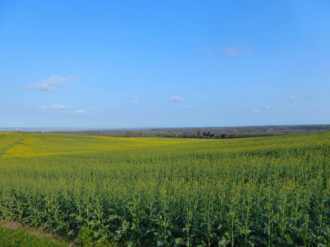
Road. The route is a mixture of woodland walking and fields and, perhaps
unusually for the area, was not very muddy but I suspect I was lucky and
that normally, the thick, chalky Kent mud should be expected.
Click HERE for
a GPX file of the route.

Are you tired of being stuck in the office? Bored of being chained to a desk? Counting down the days until retirement?
Me too!!
CATEGORIES
FOLLOW US


RECENT POSTS
-
 Tuesday 01 February 2022
 -
 Monday 31 January 2022
 -
 Sunday 30 January 2022
 -
 Saturday 29 January 2022
 -
 Friday 28 January 2022
 -
 Thursday 27 January 2022
 -
 Wednesday 26 January 2022
 -
 Tuesday 25 January 2022
 -
 Monday 24 January 2022
 -
 Sunday 23 January 2022
 -
 Saturday 22 January 2022
 -
 Friday 21 January 2022
 -
 Thursday 20 January 2022
 -
 Sunday 02 January 2022
 -
 Saturday 01 January 2022
 -
 Wednesday 27 October 2021
 -
 Tuesday 26 October 2021
 -
 Sunday 02 May 2021
 -
 Sunday 04 October 2020
 -
 Saturday 03 October 2020