Walk • Trek • Travel
A photographic record and journal of our walking, trekking and travelling adventures.
Backpacking on the North Downs Way – Cuxton to Thurnham
Saturday 16 March 2019
Day One: Cuxton to Thurnham
Backpacking in the South East of England is not a particularly easy
pastime especially if you want to walk for several days at a time and
camp at the end of each day. There are very few campsites where you need
them to be and most of them do not really cater for the one night
backpacker anyway.
Wild camping in England and Wales, with the exception of some areas
of Dartmoor, is illegal unless you have the permission of the landowner
and all land is ‘owned’ by someone, even if it is the local authority or
county council.
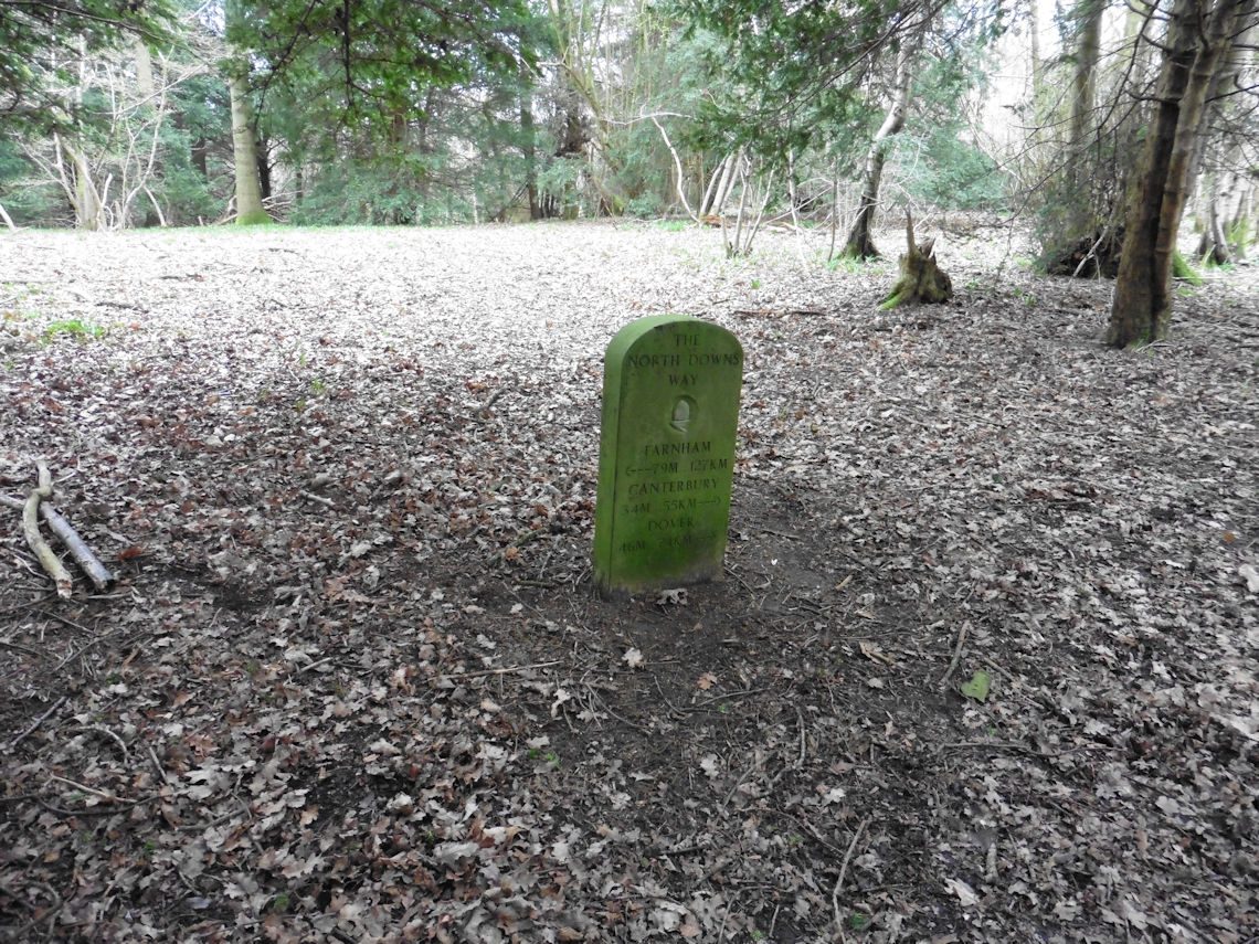
Even on a popular National Trail such as the North Downs Way, which
passes through the south-east counties of Surrey and Kent, there are no
areas for wild camping provided by the county councils for those who are
walking the trail which is a little surprising considering that these
two county councils, along with Natural England, provide the funding for
the trail.
I suppose that it would be much easier to find Bed & Breakfast
accommodation in most of the towns and villages along the trail but at
an average price of £90 per night, it is simply too expensive and
therefore not an option for most backpackers. If you wanted to thru-hike
the North Downs Way then those that manage it recommend you allow twelve
days so that’s going to cost you just over £1000.
On this occasion, I didn’t have twelve days I only had a weekend and
following on from my accidental pilgrimage to Canterbury I was keen to
discover more about the Pilgrims Way but I had no intention of spending
£90 per night to do so.
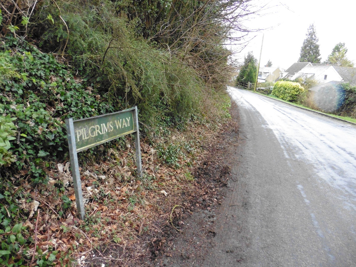
Looking at the maps, I could see that a good deal of the Pilgrims Way
now comprised of tarmac country lanes and the parts that did not were
shared with, to a large extent at least, the North Downs Way and even
where that was not the case the two routes were never far apart.
The last time I walked along the North Downs Way and the Pilgrims Way
I had walked from Wye to Canterbury so I decided that this time I would
finish at Wye and try to plan a route back from there that would take
two days to walk and that had a campsite that I could stay at overnight
that was not too far from the trail itself.
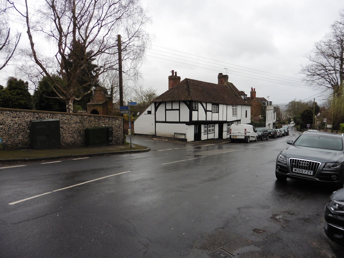
In the end, I decided that I would start at Cuxton because I could
park there and catch the train back from Wye the following day so all I
needed to do then was sort out the campsite.
There were only two campsites that were anywhere near the trail on my
chosen section and one of those was only a few miles from the end. The
other was almost perfectly located but after emailing them they advised
me that, in spite of the dates advertised on their website, they would
not be opening for another month or so.
So faced with the prospect of having to abandon my trip I decided to
wild camp. Now, I am no stranger to wild camping and have wild camped on
Dartmoor, where it is permitted, a great many times especially in my
younger days when I lived nearby and I have also wild camped in the
Brecon Beacons mountain range in South Wales, where it is illegal but
usually tolerated, on a few occasions too.
But the North Downs Trail is not a route across a remote upland or
mountainous region but a route through a narrow strip of land that
weaves its way through some of the most densely populated areas in the
country. The section I planned to walk, Cuxton to Wye, would take me
between the M2 and M20 motorways and skirt around big towns such as
Rochester, Chatham, Maidstone and Ashford which would make finding a
spot to wild camp a bit of a challenge.
I decided early on in the process of looking for such a spot to stick
to land that was owned by the county council rather than a private
landowner because it seemed to me that a private landowner is more
likely to living nearby, such as a farmer, and therefore more likely to
be active in that area. I reasoned that the county council are unlikely
to have employees working on their land and certainly not at night when
I would be there and that even if I was spotted by a passer-by and the
council informed, I would be long gone come Monday morning when the
relevant office opened.
Going back to my maps and with a little help from Google, I found,
what appeared to me anyway, to be the perfect spot. A large open area on
the top of a hill with fine views across the nearby countryside but not
overlooked by anyone. In my imagination, I was already seeing a pleasant
sunset followed by the perfect sunrise.
In the days just before my little trip, it was already clear to me
that the weather was going to be horrendous. The met office had been
handing out yellow alerts like they were going out of fashion and were
predicting rain and winds of up to 50 mph for the area I would be
camping in. Checking the weather forecast several times a day, I hoped
for signs of improvement right up until the morning of the first day of
the walk. In the end, I decided that I would just have to go for it and
if it didn’t work out then, what is the worst that could happen?
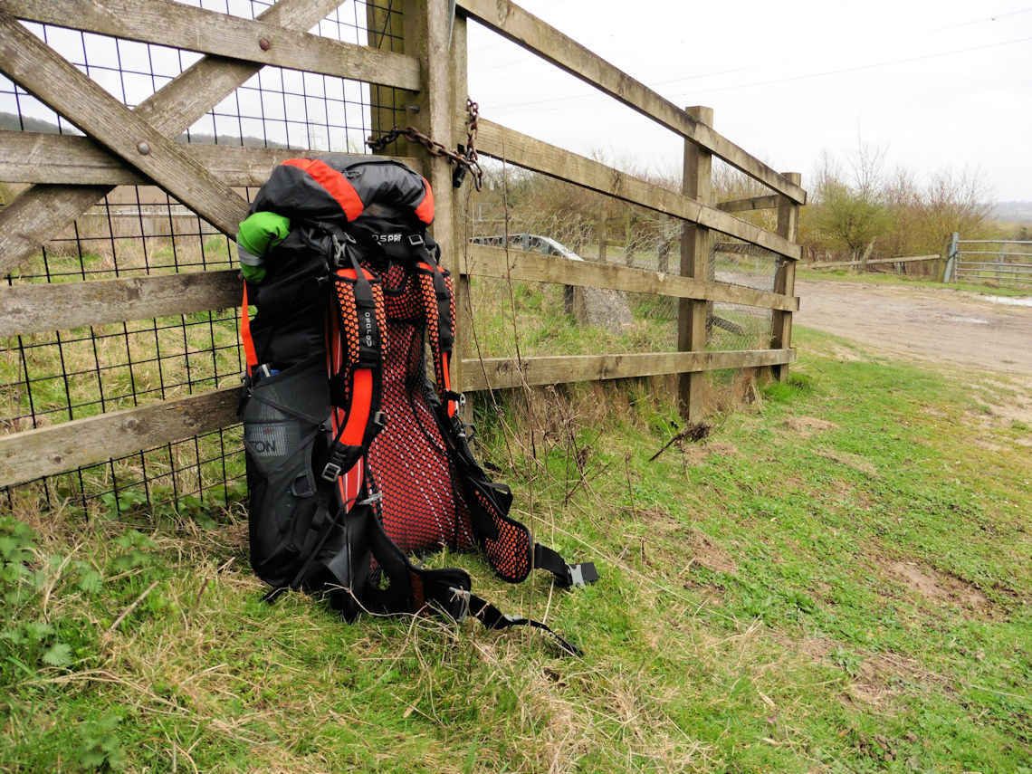
I left Cuxton at 11:30. I didn’t want to start too early because I
didn’t want to arrive too early and then have to hang around for ages
before pitching my tent. I was pretty certain that the area I had chosen
to wild camp would be popular with dog walkers and that a man with a big
rucksack just hanging around would look suspicious. It was already
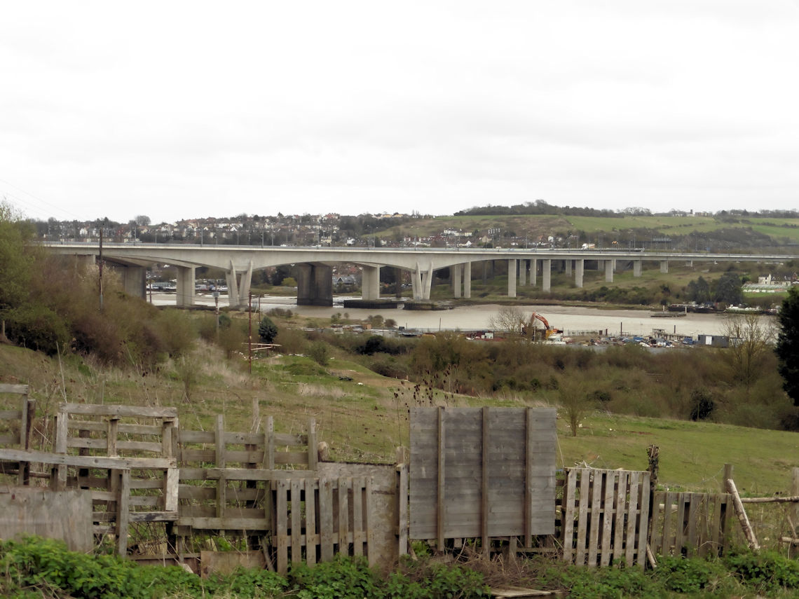
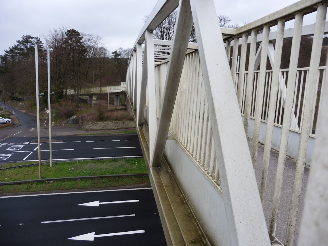
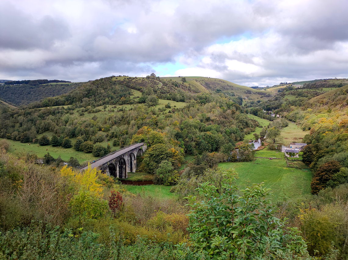
ridiculously windy and it took some effort to cross the Medway viaduct
alongside the M2 motorway and HS1 railway line and I had barely walked a
mile when the rain started and I had to stop at Nashenden and put on my
waterproofs.
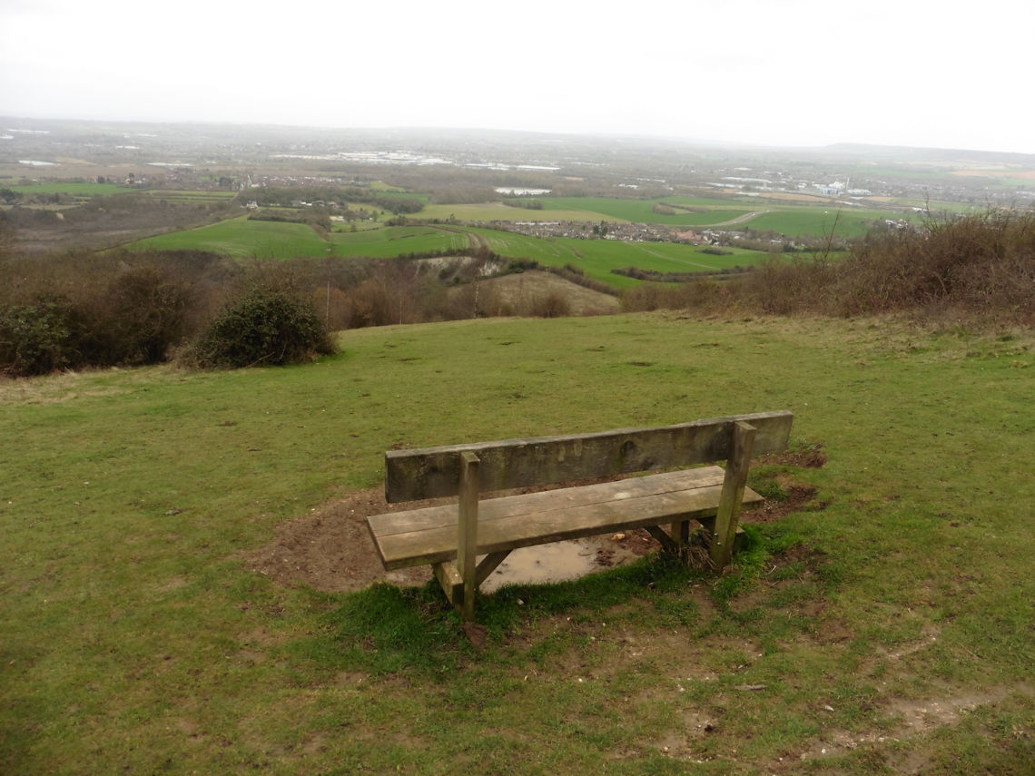
I had planned to stop at the Blue Bell Hill viewpoint for lunch but
when I arrived it was just too windy to sit there and try to eat a
cheese roll and boil some water for coffee on the stove so I decided to
press on. At least the rain had stopped and I was eager to finally see
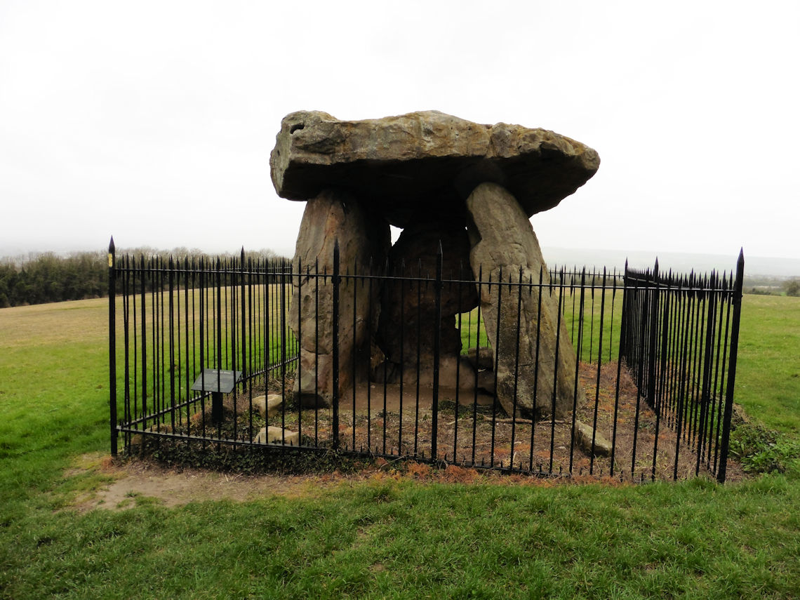
Kit’s Coty which was just a little further along the trail.
Kit’s Coty, or Kit’s Coty House, is a chambered long barrow or
‘dolmen’ constructed circa 4000 BC during the Early Neolithic period and
made from sarsen stones (a fine-grained, crystalline sandstone). I had
heard about it several times but I had never been to see it until today.
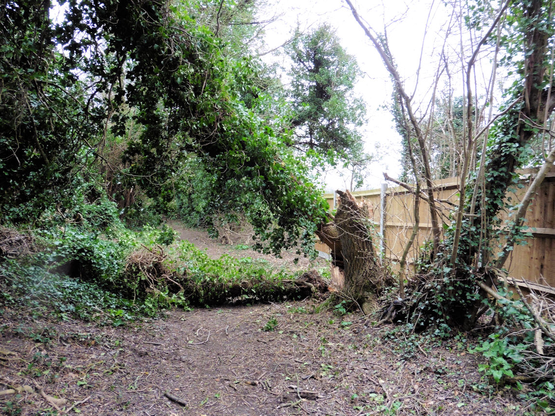
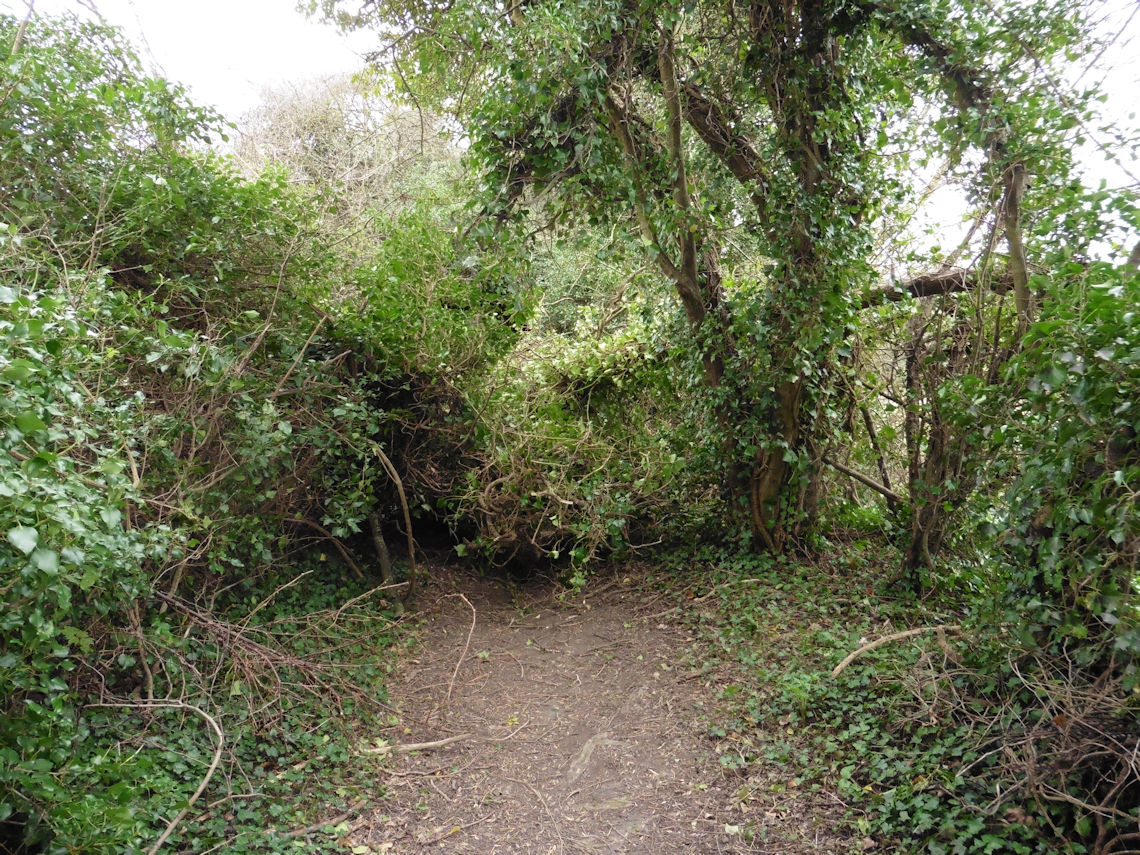
Getting to it, however, was proving tricky as the wind had brought down
several trees along the narrow path that had to be negotiated.
Fortunately, they were relatively small trees and I eventually reached
the monument, took some photos and then continued on my way.
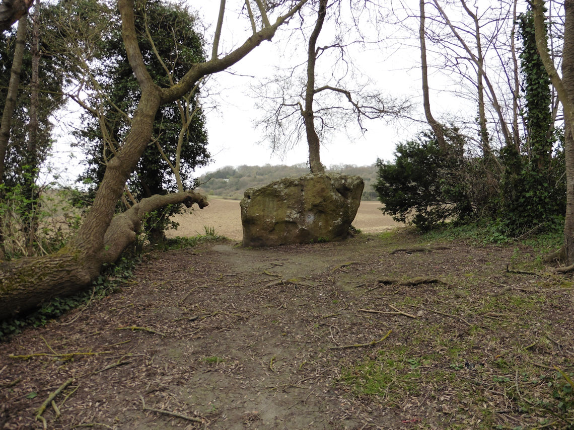
Lunch eventually happened behind the Petrol Station on the A229 where
I managed to find a spot out of the wind. Had I walked just a little
further then I would have found a much more agreeable lunch spot at the
White Horse Stone.
The White Horse Stone is another sarsen megalith and is also believed
to have been used as part of an early Neolithic chambered long barrow.
The stone used to be called the Upper White Horse Stone because up until
1834 there was a Lower White Horse Stone three hundred metres west,
roughly where the A229 dual carriageway is now, but was broken up for
some unknown reason.
The surviving Upper White Horse Stone simply became known as the
White Horse Stone and, to this day, is considered a sacred site by
Folkish Heathens and Druids alike with some believing that the stone,
along with the other Medway Megaliths, is connected to the ‘earth
energies’ and rituals are said to be performed at the site each month.
There is even a group called the Guardians of the White Horse Stone
devoted to protecting the site.
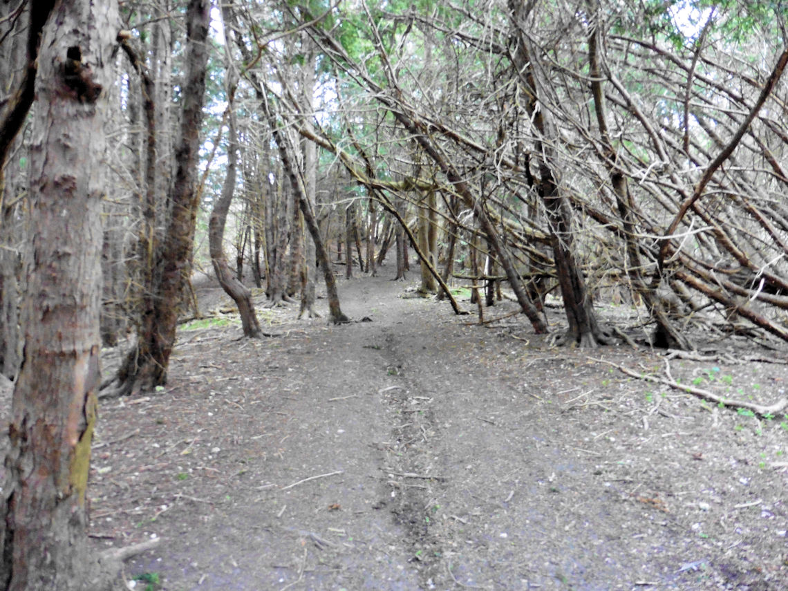
I continued up into the woods where I found even more evidence of the
destructive power of the wind. Trees of varying sizes lay splintered and
broken on the leaf covered ground. Those still standing where howling in
the wind as if in anguish. People often describe strong winds as an
express train and I could see why. The noise was almost deafening. An
unending continuous roar very similar to that of fast moving trains but
at a slightly lower pitch above which the clatter of branch upon branch
could be heard as if hundreds of children were playing nearby with
wooden swords. So loud was the noise that I was completely unaware of a
cyclist who had ridden up behind me until I heard what, to me, sounded
like a faint cry and turned around to see him right behind me struggling
to keep his balance.
I reached Detling at around 5 pm. The light was fading and I had
calculated that it would be dark enough to pitch my tent around 6.30 pm
so I was a little early. I walked slowly along the Pilgrims Way and,
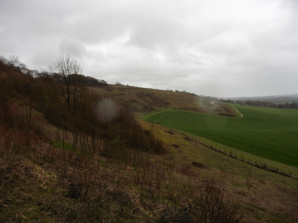
before long, was able to look up to the escarpment that I had chosen as
my campsite. Detling Hill.
I started to slowly climb the path on the western side of the hill
while keeping my eyes open for signs of people. Every metre climbed the
wind seemed stronger and louder than before. The escarpment was south
facing and the wind blowing in a northwesterly direction so I knew there
would be little chance of any shelter from the wind. On the top of the
hill, at 200 metres, there is a viewpoint which consists of a trig point
and some information boards. I took an anemometer from my pack, turned
to face into the wind and held it up. To the two dog walkers that were
walking along a nearby path, I must have looked as if I was performing
some sort of ancient ritual of my own. For the few minutes that I held
the anemometer up, I measured a steady wind speed of 34 mph with gusts
reaching 48 mph. “There is no way I am camping up here tonight,” I
thought to myself.
Now I have experienced winds of up to 70 mph once or twice before and
I have read the accounts of others who have survived nights in the
mountains with winds far in excess of the 34 mph that I had just
measured. But standing right there, at that moment, I just knew that it
was too windy and too exposed.
I scouted around the area on the northern side of the viewpoint. The
map showed this area as woods but it was newly planted and the trees
barely five feet high and the whole area not more than 600 sqm.
It was now 6 pm and the light was almost gone. I needed to find
somewhere soon or give up and try to find a way back to the car.
Civilisation, after all, was not too far away. I could see from the map
that the remains of a medieval castle were just a few hundred metres
away, on the other side of a nearby lane. I had seen photos of the
remains when I researched the area on Google so I knew that, although
very little of the castle remained, there were at least some walls
there. Hoping for some flat ground I head down the hill to the
castle.
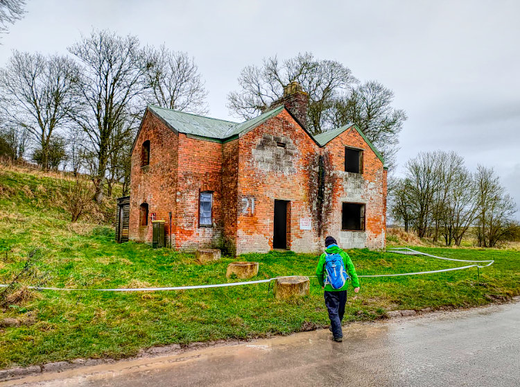
Thurnham Castle is a twelfth-century flint-built motte-and-bailey
castle. Or, at least, it was. Very little of it was still standing by
the time I got there but luckily one side of the bailey wall was. It
wouldn’t shield me from all of the wind but it was certainly a big
improvement. The only problem was that the only sheltered flat ground
was just a few metres from the lane and I would be visible to anyone
using the lane.
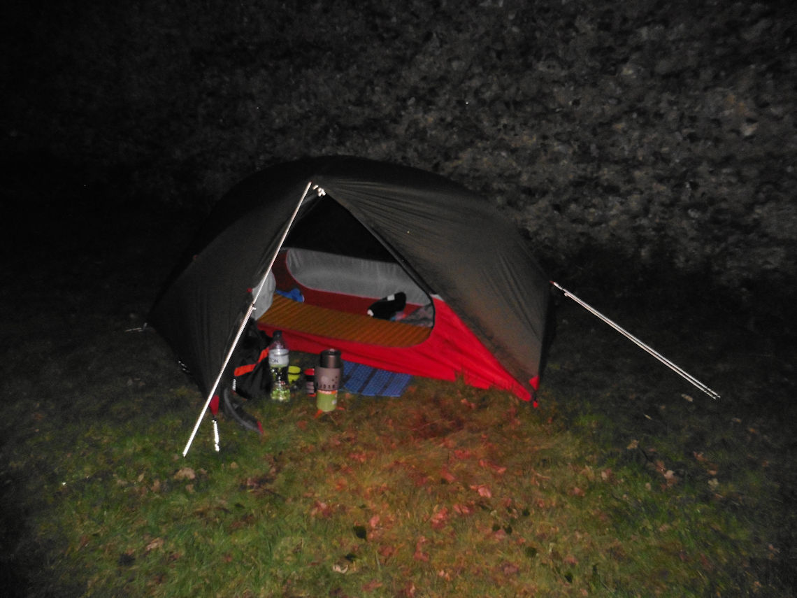
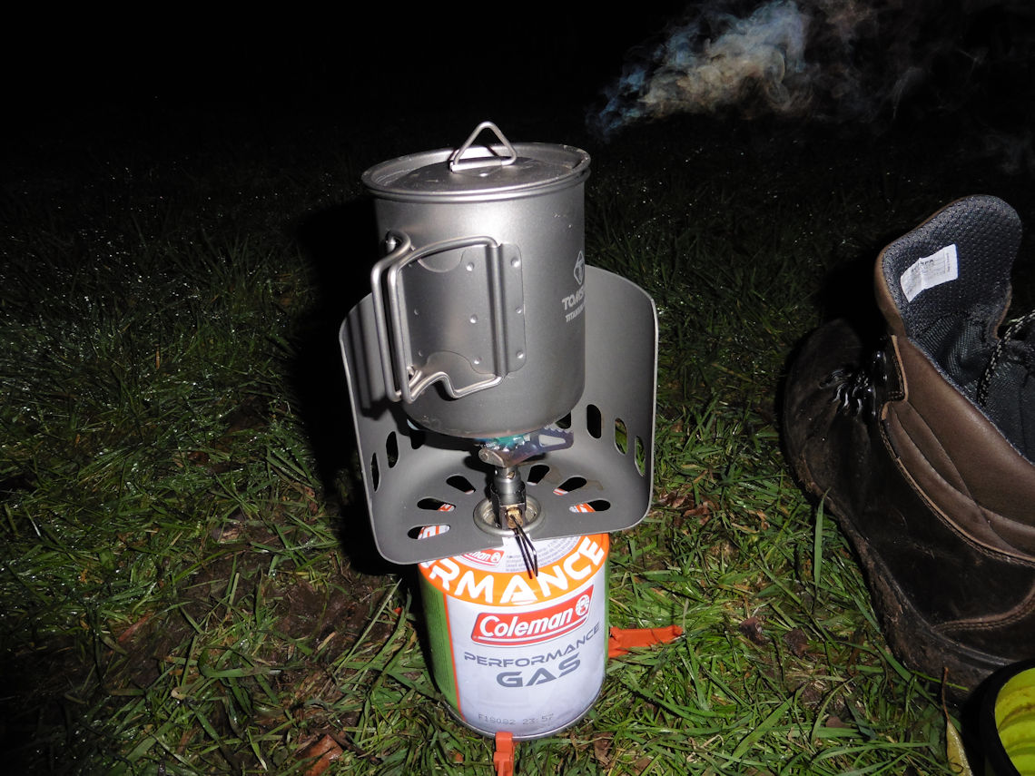
I found a spot out of sight and lit my stove for coffee. By the time
I finished my coffee and a cheese roll I figured it was dark enough to
pitch my tent. Using only the red beam from my headlamp I set about
doing exactly that. It actually took much longer than I had expected to
pitch in the dark. The dark green flysheet and the red straps, pegs and
guy lines are not that easy to see under a red light and just as I
thought I had finished I realised that I had put the fly on with the
only door on the wrong side.
It is hard to explain the importance of being able to have a hot meal
and drink when you are out in cold weather. At no point was I going to
starve or at risk of hypothermia. It wasn’t even that cold at 7°C now
that I was out of the wind and I had an extra layer that I wasn’t using
other than as a pillow. But, physiologically, a hot meal and a hot drink
give you a sense of wellbeing and satisfaction that just seem to help
warm the body.
By 9 pm I was starting to nod off. Every now and then I would be
woken up by a gust of wind hitting the tent, but otherwise, I slept
pretty well.
The Route
Distance : 14 Miles
I parked in Station Road, Cuxton and walked for two days until I
reached Wye where I caught the train back to Cuxton via Paddock Wood and
I wild camped above the village of Thurnham. The first section was 14
miles long and if you wanted to make this a day walk then you could walk
through either Thurnham or Detling in order to catch the train from
Bearsted back to Cuxton. The route is a mixture of different trail types
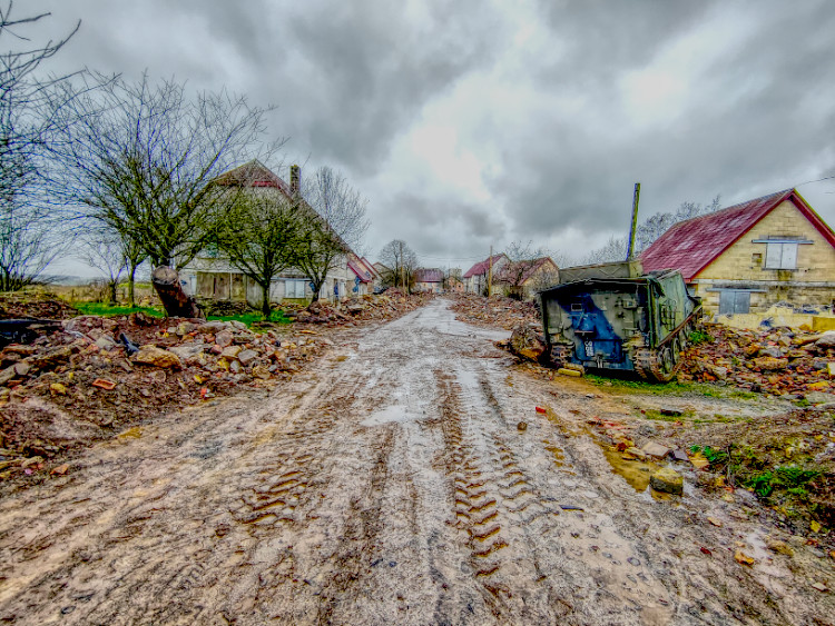
but, being Kent, there is a lot of sticky mud. A lot!
Click HERE for
a GPX file of the route.
Are you tired of being stuck in the office? Bored of being chained to a desk? Counting down the days until retirement?
Me too!!
CATEGORIES
FOLLOW US


RECENT POSTS
-
 Tuesday 01 February 2022
 -
 Monday 31 January 2022
 -
 Sunday 30 January 2022
 -
 Saturday 29 January 2022
 -
 Friday 28 January 2022
 -
 Thursday 27 January 2022
 -
 Wednesday 26 January 2022
 -
 Tuesday 25 January 2022
 -
 Monday 24 January 2022
 -
 Sunday 23 January 2022
 -
 Saturday 22 January 2022
 -
 Friday 21 January 2022
 -
 Thursday 20 January 2022
 -
 Sunday 02 January 2022
 -
 Saturday 01 January 2022
 -
 Wednesday 27 October 2021
 -
 Tuesday 26 October 2021
 -
 Sunday 02 May 2021
 -
 Sunday 04 October 2020
 -
 Saturday 03 October 2020